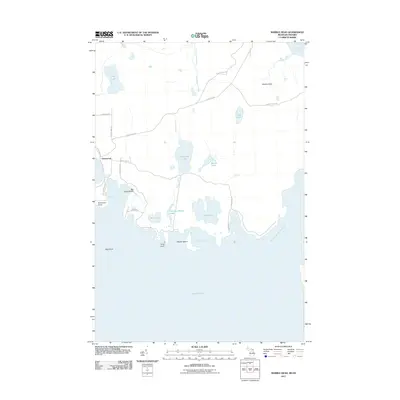
2011 Map of Marble Head
USGS Topo · Published 2011About this map
Johnswood anchors the western edge of this island landscape, where a network of local roads such as Turkey Farm Rd and Glen Cove Rd thread through the interior towards the prominent eastern heights of Marble Head. The map details a complex shoreline along the northern reaches of Lake Huron, defined by the wide expanse of Scammon Cove and the narrow passage of the False Detour Channel. Numerous inland water bodies, including Dickenson Lake, Bass Lake, and Jarvinen Marsh Lake, suggest a low-lying, marshy interior punctuated by seasonal drainage like Dickenson Creek.
Find a feature on this map
35 named features on this map. Tap any name to fly to it.
Don’t see what you’re looking for? This feature index may not catch every label — zoom into the map to look around manually.
Map Details
Editions of this 2011 Marble Head Map
This is the sole edition of this map. No revisions or reprints were ever made.
Other maps of this area

1954 · Alpena
USGS Topo · 1:250,000

1957 · Alpena
USGS Topo · 1:250,000

1958 · Alpena
USGS Topo · 1:250,000

1961 · Blind River
USGS Topo · 1:250,000
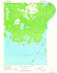
1964 · Marble Head
USGS Topo · 1:24,000

1964 · Drummond
USGS Topo · 1:24,000

1964 · Meade Island
USGS Topo · 1:24,000
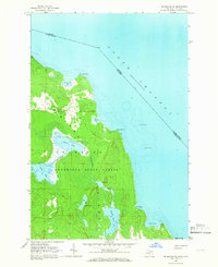
1964 · Drummond SE
USGS Topo · 1:24,000
1968 · Blind River
USGS Topo · 1:250,000

1969 · Alpena
USGS Topo · 1:250,000