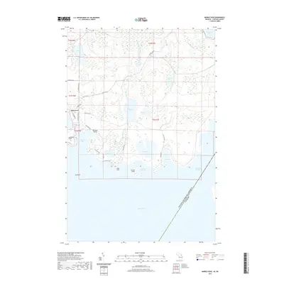
2019 Map of Marble Head
USGS Topo · Published 2019About this map
Johnswood sits as a primary point of reference in this coastal landscape of Chippewa County, where the terrestrial environment meets the expanse of Lake Huron. The terrain is defined by a complex network of wetlands and inland water bodies, including Jarvinen Marsh Lake and Pine Lake, which drain toward the shore through Dickenson Cr. This area is characterized by its prominent maritime features such as Scammon Point and Long Point, which shelter a series of coves and bays like Big Shoal Cove and Little Shelter Bay.
Find a feature on this map
42 named features on this map. Tap any name to fly to it.
Don’t see what you’re looking for? This feature index may not catch every label — zoom into the map to look around manually.
Map Details
Editions of this 2019 Marble Head Map
This is the sole edition of this map. No revisions or reprints were ever made.
Other maps of this area

1954 · Alpena
USGS Topo · 1:250,000

1957 · Alpena
USGS Topo · 1:250,000

1958 · Alpena
USGS Topo · 1:250,000

1961 · Blind River
USGS Topo · 1:250,000
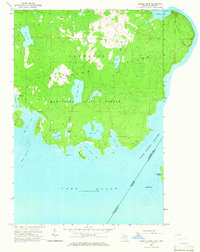
1964 · Marble Head
USGS Topo · 1:24,000

1964 · Drummond
USGS Topo · 1:24,000

1964 · Meade Island
USGS Topo · 1:24,000
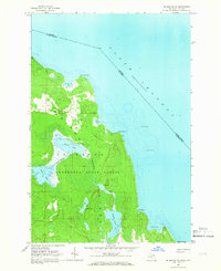
1964 · Drummond SE
USGS Topo · 1:24,000
1968 · Blind River
USGS Topo · 1:250,000

1969 · Alpena
USGS Topo · 1:250,000