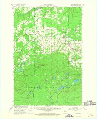
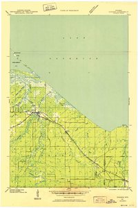
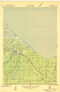
1967 Map of Marengo
USGS Topo · Published 1969About this map
Marengo and Sanborn serve as the primary hubs in this northwoods landscape, situated where the Soo Line railroad cuts through the river-riven terrain of Ashland County. The 1960s map reveals a community structured by local institutions, from the Marengo Valley School and County Fairground to a cluster of rural churches including Finnish Church and St Pauls Church. An Old Railroad Grade hints at earlier logging or transit corridors now superseded by the modern network.
Find a feature on this map
71 named features on this map. Tap any name to fly to it.
Don’t see what you’re looking for? This feature index may not catch every label — zoom into the map to look around manually.
Map Details
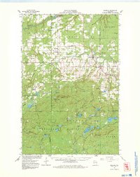
Editions of this 1967 Marengo Map
2 editions found
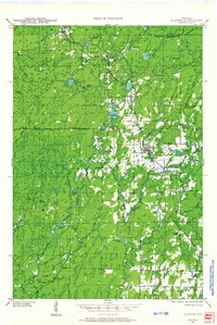
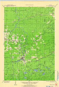
Other maps of this area

1942 · Ashland
USGS Topo · 1:48,000
1942 · Glidden
USGS Topo · 1:48,000

1942 · Clam Lake
USGS Topo · 1:48,000
1942 · Mellen
USGS Topo · 1:48,000

1942 · Marengo
USGS Topo · 1:48,000
1943 · Odanah
USGS Topo · 1:48,000

1943 · Namekagon Lake
USGS Topo · 1:48,000

1944 · Moquah
USGS Topo · 1:48,000

1944 · Grandview
USGS Topo · 1:48,000
1945 · Odanah
USGS Topo · 1:48,000