Loading...
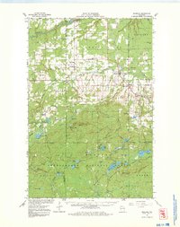
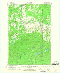
Loading map...1967 Map of Marengo
USGS Topo · Published 1981About this map
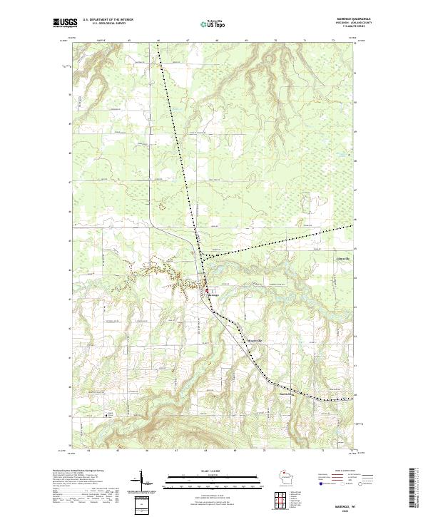
Soo Line tracks and the Old Railroad Grade bisect this Northwoods landscape, documenting the transit infrastructure of Ashland and Bayfield counties in the mid-1960s. The settlement of Sanborn anchors the northwest, while the Marengo townsite serves as a hub near the County Fairground. Cultural heritage is evidenced by several rural congregations, including the Finnish Ch and St Pauls Ch, alongside community landmarks like the Marengo Valley Sch.
Find a feature on this map
75 named features on this map. Tap any name to fly to it.
Don’t see what you’re looking for? This feature index may not catch every label — zoom into the map to look around manually.
Map Details
Date Portrayed1967
Date Published1981
PublisherU.S. Geological Survey
Map TypeTopographic
Scale1:62,500
Physical Dimensions17.56 x 22.18 inches
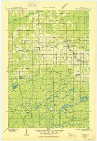
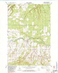
Editions of this 1967 Marengo Map
2 editions found
Historical Maps of Sanborn Through Time
5 maps found

Featured Locations
Source Details
SourceU.S. Geological Survey
CopyrightPublic Domain