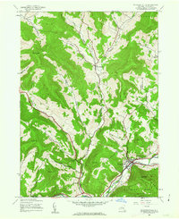
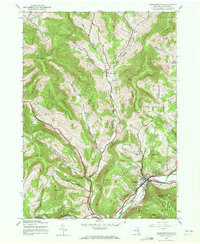
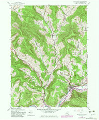
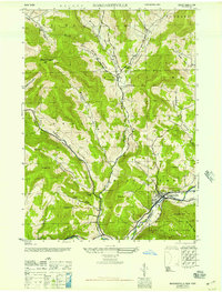
1945 Map of Margaretville
USGS Topo · Published 1963About this map
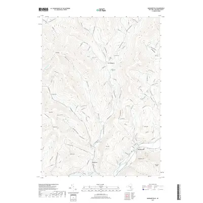
Margaretville serves as the focal point of this mid-century survey, situated at the confluence of the East Branch Delaware River and Dry Brook. The landscape is characterized by deeply incised valleys and numerous named hollows, such as Winter Hollow, Thompson Hollow, and Bragg Hollow, which reflect a long history of upland settlement and small-scale agriculture within the Catskill Park boundaries. Local genealogy is anchored by features like the Van Benschoten Cem near New Kingston and the quiet village of Dunraven to the southwest.
Find a feature on this map
37 named features on this map. Tap any name to fly to it.
Don’t see what you’re looking for? This feature index may not catch every label — zoom into the map to look around manually.
Map Details
Editions of this 1945 Margaretville Map
3 editions found
Historical Maps of Middletown Through Time
9 maps found

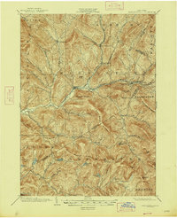
1901 Margaretville
Delaware County, NY
1904 Margaretville
Delaware County, NY
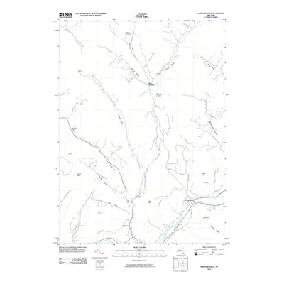
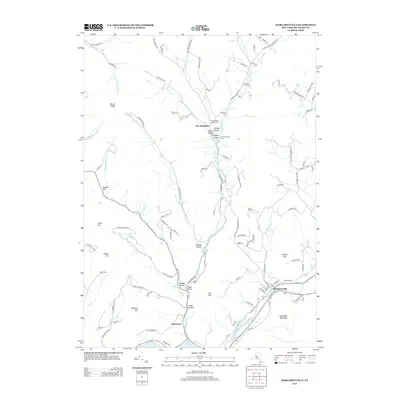
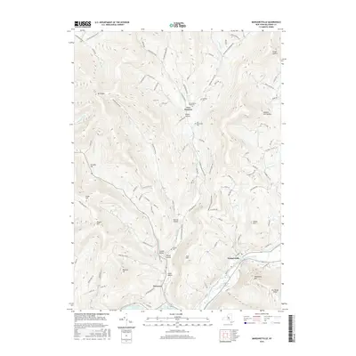
1945 Margaretville
Delaware County, NY
1946 Margaretville
Delaware County, NY
2010 Margaretville
Delaware County, NY
2013 Margaretville
Delaware County, NY
2016 Margaretville
Delaware County, NY
2019 Margaretville
Delaware County, NY

2023 Margaretville
Delaware County, NY