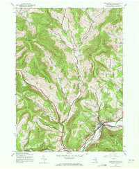
1945 Map of Margaretville
USGS Topo · Published 1972About this map
The East Branch Delaware River carves through the high terrain of Delaware County, anchoring the settlements of Margaretville and Dunraven in the years following World War II. This 1945 survey captures a mountain landscape defined by deep valleys or "hollows," such as Thompson Hollow and Sanford Hollow, which dictate the local road network and placement of family cemeteries like Sanford Cem. The confluence of the river and Dry Brook at Margaretville highlights the town's importance as a regional hub within the northern reaches of Catskill Park.
Find a feature on this map
38 named features on this map. Tap any name to fly to it.
Don’t see what you’re looking for? This feature index may not catch every label — zoom into the map to look around manually.
Map Details
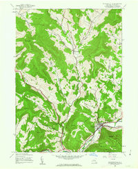
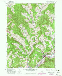
Editions of this 1945 Margaretville Map
3 editions found
Other maps of this area

1901 · Margaretville
USGS Topo · 1:62,500

1904 · Hobart
USGS Topo · 1:62,500

1904 · Margaretville
USGS Topo · 1:62,500

1909 · Delhi
USGS Topo · 1:62,500

1911 · Delhi
USGS Topo · 1:62,500

1922 · Andes
USGS Topo · 1:62,500

1924 · Andes
USGS Topo · 1:62,500

1943 · Bloomville
USGS Topo · 1:24,000
1945 · Seager
USGS Topo · 1:24,000

1945 · Fleischmanns
USGS Topo · 1:24,000