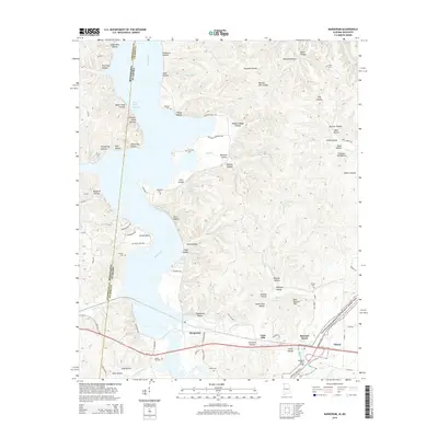
2014 Map of Margerum
USGS Topo · Published 2014About this map
Margerum and the surrounding borderlands of Alabama and Mississippi are defined by the winding course of Bear Creek, which creates a complex landscape of inlets and peninsulas such as Buchanon Peninsula Rd. The terrain is characterized by a dense network of named hollows, including Chalk Mine Hollow, Barnett Mill Hollow, and Shingle Yard Hollow, suggesting a history of localized resource extraction and small-scale industry. Transport and travel are central themes, with the modern Us 72 cutting across the southern portion, contrasted by the enduring path of the Natchez Trace Parkway and National Scenic Trail.
Find a feature on this map
107 named features on this map. Tap any name to fly to it.
Don’t see what you’re looking for? This feature index may not catch every label — zoom into the map to look around manually.
Map Details
Editions of this 2014 Margerum Map
This is the sole edition of this map. No revisions or reprints were ever made.
Other maps of this area

1911 · Iuka
USGS Topo · 1:48,000

1914 · Iuka
USGS Topo · 1:62,500

1924 · Gravelly Springs
USGS Topo · 1:48,000

1925 · Barton
USGS Topo · 1:62,500

1926 · Barton
USGS Topo · 1:48,000

1926 · Gravelly Springs
USGS Topo · 1:62,500

1929 · Barton
USGS Topo · 1:62,500

1935 · Cherokee
USGS Topo · 1:24,000

1935 · Wright
USGS Topo · 1:24,000

1935 · Iuka
USGS Topo · 1:24,000