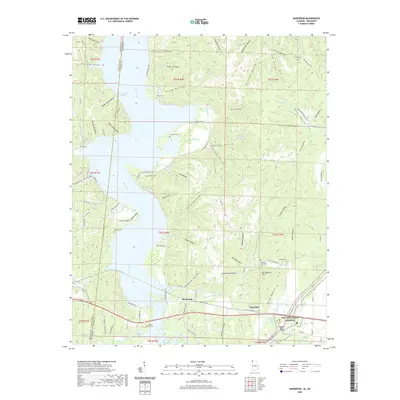
2020 Map of Margerum
USGS Topo · Published 2020About this map
Margerum serves as a central point in this topographic study of the Alabama-Mississippi borderlands, where the landscape is defined by the winding course of Bear Creek and its diverse tributaries. The area's agricultural and industrial roots are visible through features like the Lime Kiln near Lime Kiln Hollow and the numerous small family burial grounds that dot the hillsides, including the Douthit Cem and Crenshaw Cem. These cemeteries, often tucked into hollows like Ginhouse Hollow and Happy Hollow, provide a detailed genealogical record of the region's early inhabitants.
Find a feature on this map
120 named features on this map. Tap any name to fly to it.
Don’t see what you’re looking for? This feature index may not catch every label — zoom into the map to look around manually.
Map Details
Editions of this 2020 Margerum Map
This is the sole edition of this map. No revisions or reprints were ever made.
Other maps of this area

1911 · Iuka
USGS Topo · 1:48,000

1914 · Iuka
USGS Topo · 1:62,500

1924 · Gravelly Springs
USGS Topo · 1:48,000

1925 · Barton
USGS Topo · 1:62,500

1926 · Barton
USGS Topo · 1:48,000

1926 · Gravelly Springs
USGS Topo · 1:62,500

1929 · Barton
USGS Topo · 1:62,500

1935 · Cherokee
USGS Topo · 1:24,000

1935 · Wright
USGS Topo · 1:24,000

1935 · Iuka
USGS Topo · 1:24,000