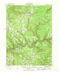
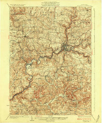
1936 Map of Marienville
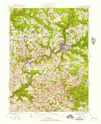
USGS Topo · Published 1961About this map
Allegheny National Forest dominates the northern reaches of this mid-1930s landscape, where logging and conservation efforts are evident in the presence of the Muzette Fire Tower and multiple CCC Camp locations. The Clarion River carves a deep, winding path through the center, serving as a primary geographical anchor and the heart of Cook Forest State Park. Along this river corridor, the Cook Tomb stands as a notable landmark near Cooksburg.
Find a feature on this map
102 named features on this map. Tap any name to fly to it.
Don’t see what you’re looking for? This feature index may not catch every label — zoom into the map to look around manually.
Map Details
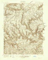
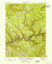
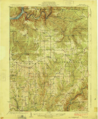
Editions of this 1936 Marienville Map
3 editions found
Other maps of this area

1906 · Clarion
USGS Topo · 1:62,500

1907 · Clarion
USGS Topo · 1:62,500

1918 · Loleta
USGS Topo · 1:62,500

1922 · Tionesta
USGS Topo · 1:62,500

1922 · Du Bois
USGS Topo · 1:62,500

1924 · Du Bois
USGS Topo · 1:62,500
1924 · Tionesta
USGS Topo · 1:62,500
1924 · Brookville
USGS Topo · 1:62,500
1926 · Brookville
USGS Topo · 1:62,500

1927 · Tidioute
USGS Topo · 1:48,000
Featured Places
- Warsaw Township, PA
- Millstone Township, PA
- Polk Township, PA
- Millcreek Township, PA
- Fisher, Millcreek Township