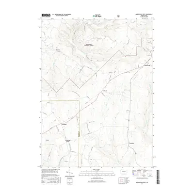
2016 Map of Marienville West
USGS Topo · Published 2016About this map
Allegheny National Forest dominates this landscape, where the plateau is carved by an intricate network of waterways including Salmon Cr and Maple Cr. The small settlements of Muzette, Vowinckel, and Marienville anchor the high ground between deep drainage runs. A distinct north-south orientation of travel is evident, defined by the winding path of the N Country National Scenic Trail as it traverses the divide between the Clarion and Forest County line. This modern topographic record shows a region still defined by its timber heritage and rural isolation, with small family-named crossroads like Roses and Gilfoyle and local landmarks such as Roses Cem providing evidence of the area's long-term residence. The convergence of numerous forest roads and trails through the township illustrates the transition from industrial extraction to a landscape primarily managed for conservation and recreation.
Find a feature on this map
56 named features on this map. Tap any name to fly to it.
Don’t see what you’re looking for? This feature index may not catch every label — zoom into the map to look around manually.
Map Details
Editions of this 2016 Marienville West Map
This is the sole edition of this map. No revisions or reprints were ever made.
Other maps of this area

1918 · Loleta
USGS Topo · 1:62,500

1922 · Tionesta
USGS Topo · 1:62,500

1924 · Tionesta
USGS Topo · 1:62,500

1927 · Tidioute
USGS Topo · 1:48,000

1930 · Tidioute
USGS Topo · 1:62,500

1935 · Sheffield
USGS Topo · 1:48,000

1936 · Marienville
USGS Topo · 1:48,000

1941 · Sheffield
USGS Topo · 1:62,500

1941 · Marienville
USGS Topo · 1:62,500

1946 · Tionesta
USGS Topo · 1:62,500
Featured Places
- Roses, Jenks Township
- Williams, Jenks Township
- North Pine Grove, PA
- Vowinckel, PA
- Redclyffe, Barnett Township