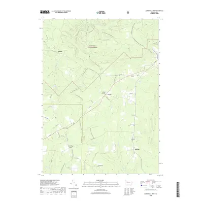
2019 Map of Marienville West
USGS Topo · Published 2019About this map
The Allegheny National Forest dominates this section of the Pennsylvania highlands, where small communities like Vowinckel and Gilfoyle are connected by a network of forest roads and historic trails. The landscape is deeply carved by drainage systems including Salmon Creek and Maple Creek, which define the topography of the region. Local history is anchored by several small burial sites and congregations, such as the Gilfoyle Methodist Church Cem and the Redclyffe Methodist Cem.
Find a feature on this map
62 named features on this map. Tap any name to fly to it.
Don’t see what you’re looking for? This feature index may not catch every label — zoom into the map to look around manually.
Map Details
Editions of this 2019 Marienville West Map
This is the sole edition of this map. No revisions or reprints were ever made.
Other maps of this area

1918 · Loleta
USGS Topo · 1:62,500

1922 · Tionesta
USGS Topo · 1:62,500

1924 · Tionesta
USGS Topo · 1:62,500

1927 · Tidioute
USGS Topo · 1:48,000

1930 · Tidioute
USGS Topo · 1:62,500

1935 · Sheffield
USGS Topo · 1:48,000

1936 · Marienville
USGS Topo · 1:48,000

1941 · Sheffield
USGS Topo · 1:62,500

1941 · Marienville
USGS Topo · 1:62,500

1946 · Tionesta
USGS Topo · 1:62,500
Featured Places
- Roses, Jenks Township
- Williams, Jenks Township
- North Pine Grove, PA
- Vowinckel, PA
- Redclyffe, Barnett Township