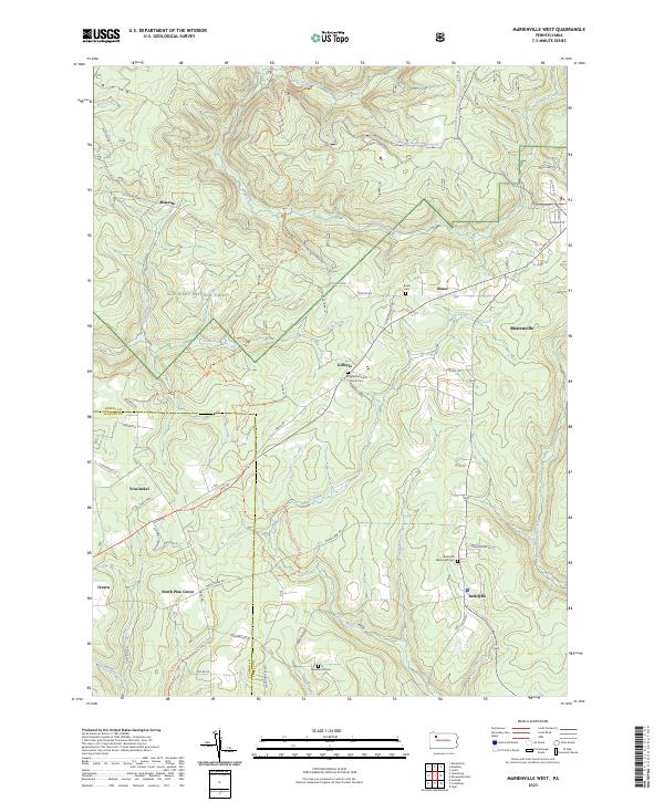
2023 Map of Marienville West
USGS Topo · Published 2023About this map
Allegheny National Forest dominates the landscape of this 2023 survey, where the border between Forest and Clarion Counties cuts through a densely wooded plateau. The settlement pattern follows established ridges and creek valleys, with Marienville serving as a primary hub. Smaller, historical communities like Gilfoyle, Roses, and Vowinckel are linked by a network of rural routes such as Muzette Rd and Guitonville Rd.
Find a feature on this map
65 named features on this map. Tap any name to fly to it.
Don’t see what you’re looking for? This feature index may not catch every label — zoom into the map to look around manually.
Map Details
Editions of this 2023 Marienville West Map
This is the sole edition of this map. No revisions or reprints were ever made.
Other maps of this area

1918 · Loleta
USGS Topo · 1:62,500

1922 · Tionesta
USGS Topo · 1:62,500

1924 · Tionesta
USGS Topo · 1:62,500

1927 · Tidioute
USGS Topo · 1:48,000

1930 · Tidioute
USGS Topo · 1:62,500

1935 · Sheffield
USGS Topo · 1:48,000

1936 · Marienville
USGS Topo · 1:48,000

1941 · Sheffield
USGS Topo · 1:62,500

1941 · Marienville
USGS Topo · 1:62,500

1946 · Tionesta
USGS Topo · 1:62,500
Featured Places
- Farmington Township, PA
- Green Township, PA
- Kingsley Township, PA
- Barnett Township, PA
- Gilfoyle, Jenks Township