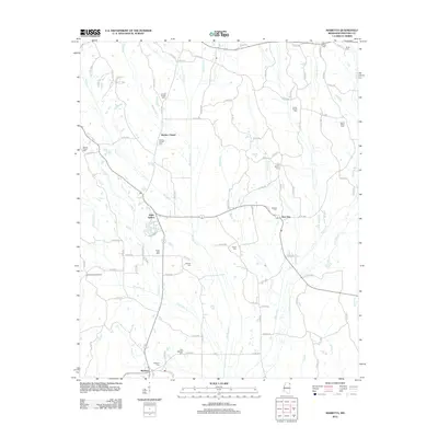
2024 Map of Marietta
USGS Topo · Published 2024About this map
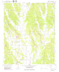
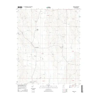
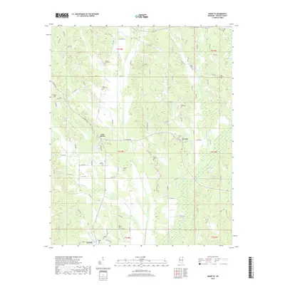
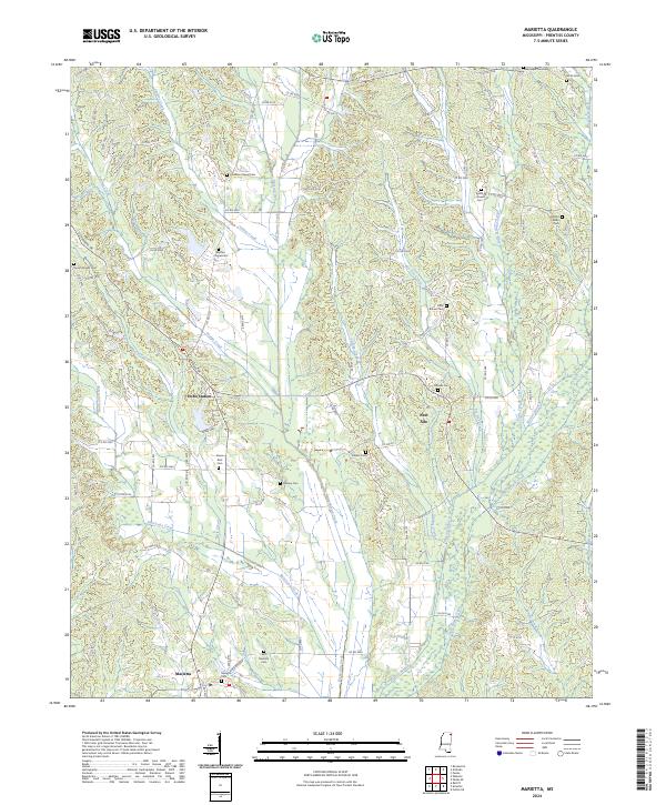
Marietta sits at the southern edge of this Prentiss County landscape, where the headwaters of Granny Creek and Hurricane Creek begin their descent through the hills. This 2024 survey documents a predominantly rural region defined by its network of creek valleys and scattered crossroads. The settlement pattern is anchored by small community centers like New Site and the curiously named Hobo Station, while the local genealogy is preserved in numerous family and community burial grounds including Blythes Chapel Cem and Mount Pisgah Cem.
Find a feature on this map
101 named features on this map. Tap any name to fly to it.
Don’t see what you’re looking for? This feature index may not catch every label — zoom into the map to look around manually.
Map Details
Editions of this 2024 Marietta Map
This is the sole edition of this map. No revisions or reprints were ever made.
Historical Maps of Marietta Through Time
6 maps found