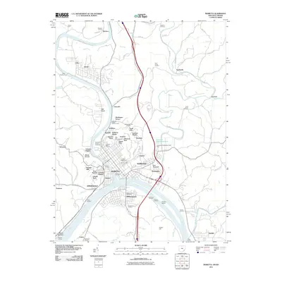
1927 Map of Marietta
USGS Topo · Published 1948About this map
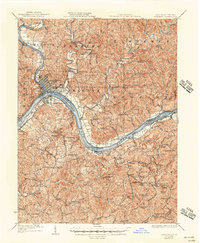
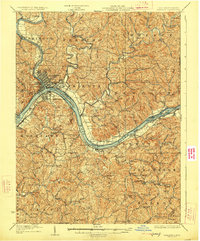
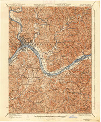
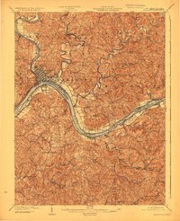
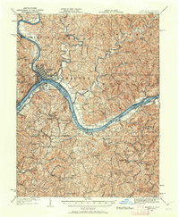
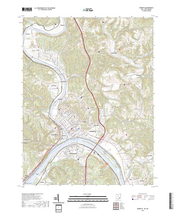
The Muskingum River joins the Ohio River at the historic riverfront of Marietta, where industrial and transit patterns of the early twentieth century are clearly defined. Across the water, Williamstown and the adjacent Harmar district show established street grids connected by rail and river commerce, including the Baltimore and Ohio RR and a designated Steamboat Route. The rural hinterlands of Washington County, Ohio, and Wood County, West Virginia, are dotted with family-named landmarks and local institutions like the Burnt Hill Church, Fivemile School, and Pigeonroost Run School. The landscape is further defined by the Bull Boundary Line and numerous islands such as Willow Island and Buckley Island, illustrating the complex social and topographic geography of the river valley before modern highway expansion.
Find a feature on this map
135 named features on this map. Tap any name to fly to it.
Don’t see what you’re looking for? This feature index may not catch every label — zoom into the map to look around manually.
Map Details
Editions of this 1927 Marietta Map
3 editions found
Historical Maps of Marietta Through Time
11 maps found
1904 Marietta
Washington County, OH
1924 Marietta
Washington County, OH
1927 Marietta
Washington County, OH
1957 Marietta
Washington County, OH
1969 Marietta
Washington County, OH
1994 Marietta
Washington County, OH
2011 Marietta
Washington County, OH
2013 Marietta
Washington County, OH
2016 Marietta
Washington County, OH
2019 Marietta
Washington County, OH
2023 Marietta
Washington County, OH