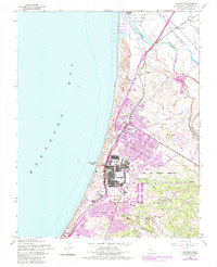
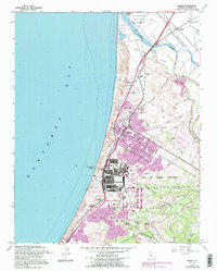
1947 Map of Marina
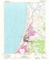
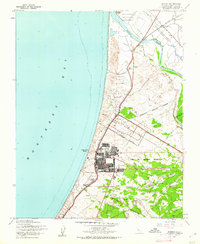
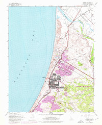
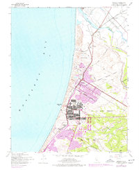
USGS Topo · Published 1970About this map
Fort Ord Military Reservation dominates the landscape of the Monterey coastline in the decades following World War II. The map reveals a highly structured military environment, featuring the Stillwell Sch, a Landing Strip, and specific training terrain such as Artillery Hill and Welch Ridge. The coastal edge is defined by Indian Head Beach, while the interior shows the burgeoning urban footprint of Marina, which expanded significantly into the Approximate Reservation Boundary by the late 1960s.
Find a feature on this map
32 named features on this map. Tap any name to fly to it.
Don’t see what you’re looking for? This feature index may not catch every label — zoom into the map to look around manually.
Map Details
Editions of this 1947 Marina Map
6 editions found
Other maps of this area

1910 · Salinas
USGS Topo · 1:31,680

1912 · Salinas
USGS Topo · 1:62,500

1912 · Capitola
USGS Topo · 1:62,500

1913 · Monterey
USGS Topo · 1:62,500

1914 · Capitola
USGS Topo · 1:62,500

1915 · San Juan Bautista
USGS Topo · 1:48,000

1917 · San Juan Bautista
USGS Topo · 1:62,500

1939 · San Juan Bautista
USGS Topo · 1:62,500

1940 · San Juan Bautista
USGS Topo · 1:62,500

1940 · Salinas
USGS Topo · 1:62,500