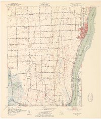
1952 Map of Marine City
USGS Topo · Published 1954About this map
Marine City serves as the industrial and social anchor along the St Clair River in this early 1950s survey. The landscape is defined by the heavy traffic of the waterway, where the United States Canada border splits the river channel, separating Michigan from Ontario. Local life is organized around a grid of early thoroughfares like Marine City Highway and Plank Road, connecting the riverfront to inland agricultural tracts in China and Cottrellville townships.
Find a feature on this map
79 named features on this map. Tap any name to fly to it.
Don’t see what you’re looking for? This feature index may not catch every label — zoom into the map to look around manually.
Map Details
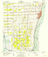
Editions of this 1952 Marine City Map
2 editions found
Other maps of this area

1912 · Port Huron
USGS Topo · 1:62,500

1914 · Algonac
USGS Topo · 1:62,500

1928 · Hicky
USGS Topo · 1:62,500

1929 · Port Huron
USGS Topo · 1:62,500

1936 · St. Clair
USGS Topo · 1:31,680

1936 · Rattle Run
USGS Topo · 1:31,680

1936 · New Baltimore
USGS Topo · 1:31,680

1936 · Algonac
USGS Topo · 1:31,680

1939 · New Baltimore
USGS Topo · 1:24,000

1939 · Adair
USGS Topo · 1:24,000