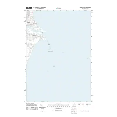
2011 Map of Marinette East
USGS Topo · Published 2011About this map
The twin cities of Marinette, Wisconsin, and Menominee, Michigan, meet at the mouth of the Menominee River in this 2011 survey. This maritime landscape is defined by the transition from riverine commerce to the open waters of Green Bay and Lake Michigan. Urban development is concentrated along the riverbanks, featuring landmarks such as the University of Wisconsin - Marinette Campus and the Menominee Post Office.
Find a feature on this map
13 named features on this map. Tap any name to fly to it.
Don’t see what you’re looking for? This feature index may not catch every label — zoom into the map to look around manually.
Map Details
Editions of this 2011 Marinette East Map
This is the sole edition of this map. No revisions or reprints were ever made.
Other maps of this area

1939 · Marinette
USGS Topo · 1:48,000

1954 · Escanaba
USGS Topo · 1:250,000

1954 · Manitowoc
USGS Topo · 1:250,000

1957 · Escanaba
USGS Topo · 1:250,000

1958 · Escanaba
USGS Topo · 1:250,000

1958 · Manitowoc
USGS Topo · 1:250,000

1960 · Sturgeon Bay
USGS Topo · 1:62,500

1961 · Little Sturgeon
USGS Topo · 1:62,500

1961 · Chambers Island
USGS Topo · 1:62,500
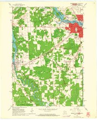
1963 · Marinette West
USGS Topo · 1:24,000