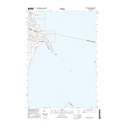
2016 Map of Marinette East
USGS Topo · Published 2016About this map
The Menominee River serves as a natural and political boundary in this coastal survey, separating Marinette, Wisconsin, from Menominee, Michigan. The map documents the urban interface with Lake Michigan, where the river discharges into Green Bay. Significant coastal landforms are visible at the mouth of the river, including the protective arc of Seagull Bar and the submerged Menekaunee Shoal. Further out in the bay, Green Island marks a lonely landmark within the maritime expanse.
Find a feature on this map
63 named features on this map. Tap any name to fly to it.
Don’t see what you’re looking for? This feature index may not catch every label — zoom into the map to look around manually.
Map Details
Editions of this 2016 Marinette East Map
This is the sole edition of this map. No revisions or reprints were ever made.
Other maps of this area

1939 · Marinette
USGS Topo · 1:48,000

1954 · Escanaba
USGS Topo · 1:250,000

1954 · Manitowoc
USGS Topo · 1:250,000

1957 · Escanaba
USGS Topo · 1:250,000

1958 · Escanaba
USGS Topo · 1:250,000

1958 · Manitowoc
USGS Topo · 1:250,000

1960 · Sturgeon Bay
USGS Topo · 1:62,500

1961 · Little Sturgeon
USGS Topo · 1:62,500

1961 · Chambers Island
USGS Topo · 1:62,500
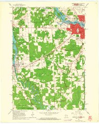
1963 · Marinette West
USGS Topo · 1:24,000