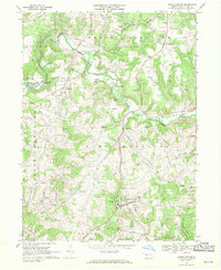
1968 Map of Marion Center
USGS Topo · Published 1970About this map
Marion Center serves as the focal point for this Indiana County survey, where the Baltimore and Ohio railroad corridor tracks alongside Pine Run and Rayne Run. The landscape is a complex patchwork of agricultural fields, woodlots, and industrial extraction, most notably evidenced by the numerous clusters of strip mines concentrated in the south and east. Smaller hamlets like Georgeville and Marchand anchor the township boundaries of North Mahoning and East Mahoning.
Find a feature on this map
36 named features on this map. Tap any name to fly to it.
Don’t see what you’re looking for? This feature index may not catch every label — zoom into the map to look around manually.
Map Details
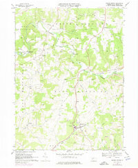
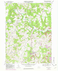
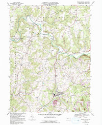
Editions of this 1968 Marion Center Map
4 editions found
Other maps of this area

1902 · Indiana
USGS Topo · 1:62,500

1902 · Barnesboro
USGS Topo · 1:62,500

1904 · Barnesboro
USGS Topo · 1:62,500

1906 · Punxsutawney
USGS Topo · 1:62,500

1909 · Smicksburg
USGS Topo · 1:62,500

1938 · Smicksburg
USGS Topo · 1:62,500

1939 · Smicksburg
USGS Topo · 1:62,500

1939 · Punxsutawney
USGS Topo · 1:62,500

1942 · Punxsutawney
USGS Topo · 1:62,500

1943 · Punxsutawney
USGS Topo · 1:125,000
Featured Places
- Rayne Township, PA
- Barton, East Mahoning Township
- West Mahoning Township, PA
- North Mahoning Township, PA
- East Mahoning Township, PA