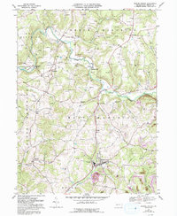
1968 Map of Marion Center
USGS Topo · Published 1993About this map
The agrarian and industrial landscape of Indiana County unfolds along the winding Little Mahoning Creek, where small settlements like Mottarns Mill and Georgeville define the rural character of the late 1960s. The map captures a transition in land use, from traditional farming to energy extraction and recreation. Scores of Gas Wells and Oil Wells pepper the hillsides, particularly across North Mahoning and West Mahoning townships, while the southeastern corner reveals the legacy of the coal industry through Strip Mines and large tracts of Reclaimed Strip Mines.
Find a feature on this map
37 named features on this map. Tap any name to fly to it.
Don’t see what you’re looking for? This feature index may not catch every label — zoom into the map to look around manually.
Map Details
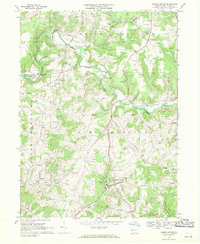
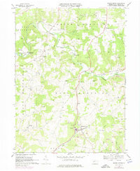
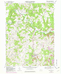
Editions of this 1968 Marion Center Map
4 editions found
Other maps of this area

1902 · Indiana
USGS Topo · 1:62,500

1902 · Barnesboro
USGS Topo · 1:62,500

1904 · Barnesboro
USGS Topo · 1:62,500

1906 · Punxsutawney
USGS Topo · 1:62,500

1909 · Smicksburg
USGS Topo · 1:62,500

1938 · Smicksburg
USGS Topo · 1:62,500

1939 · Smicksburg
USGS Topo · 1:62,500

1939 · Punxsutawney
USGS Topo · 1:62,500

1942 · Punxsutawney
USGS Topo · 1:62,500

1943 · Punxsutawney
USGS Topo · 1:125,000
Featured Places
- Rayne Township, PA
- Barton, East Mahoning Township
- West Mahoning Township, PA
- North Mahoning Township, PA
- East Mahoning Township, PA