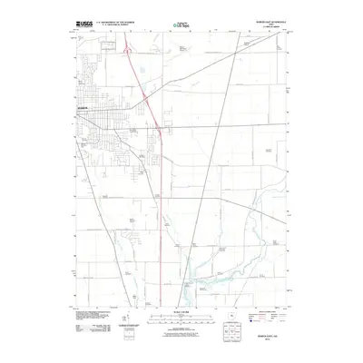
2010 Map of Marion East
USGS Topo · Published 2010About this map
Marion expands eastward into a landscape defined by its cemetery groves and agricultural corridors in this 2010 survey. The eastern periphery of the city is anchored by institutional landmarks, including the campus of Ohio State University and the prominent Harding Memorial Park. Beyond the urban grid, the map reveals a dense network of burial grounds and family plots that dot the countryside, such as the Ziller Family Cemetery and Graham Cemetery, offering significant detail for genealogical research.
Find a feature on this map
64 named features on this map. Tap any name to fly to it.
Don’t see what you’re looking for? This feature index may not catch every label — zoom into the map to look around manually.
Map Details
Editions of this 2010 Marion East Map
This is the sole edition of this map. No revisions or reprints were ever made.
Other maps of this area

1903 · Marion
USGS Topo · 1:62,500

1905 · Marion
USGS Topo · 1:62,500

1913 · Mount Gilead
USGS Topo · 1:62,500

1915 · Marengo
USGS Topo · 1:62,500

1916 · Mount Gilead
USGS Topo · 1:62,500

1924 · Delaware
USGS Topo · 1:62,500

1925 · Delaware
USGS Topo · 1:62,500

1943 · Marengo
USGS Topo · 1:62,500

1943 · Mount Gilead
USGS Topo · 1:62,500

1944 · Delaware
USGS Topo · 1:62,500