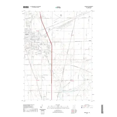
2019 Map of Marion East
USGS Topo · Published 2019About this map
Marion and its eastern surroundings are dominated by a blend of civic history and institutional development. The western edge of the map features the President Warren Harding Memorial, a significant landmark honoring the 29th U.S. President near the sprawling Marion Cem. To the east, the landscape transitions into educational and transportation hubs, featuring the Ohio State University-Marion Campus, Marion Technical College, and the Marion Municipal Airport.
Find a feature on this map
160 named features on this map. Tap any name to fly to it.
Don’t see what you’re looking for? This feature index may not catch every label — zoom into the map to look around manually.
Map Details
Editions of this 2019 Marion East Map
This is the sole edition of this map. No revisions or reprints were ever made.
Other maps of this area

1903 · Marion
USGS Topo · 1:62,500

1905 · Marion
USGS Topo · 1:62,500

1913 · Mount Gilead
USGS Topo · 1:62,500

1915 · Marengo
USGS Topo · 1:62,500

1916 · Mount Gilead
USGS Topo · 1:62,500

1924 · Delaware
USGS Topo · 1:62,500

1925 · Delaware
USGS Topo · 1:62,500

1943 · Marengo
USGS Topo · 1:62,500

1943 · Mount Gilead
USGS Topo · 1:62,500

1944 · Delaware
USGS Topo · 1:62,500