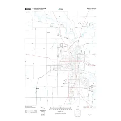
2013 Map of Marion
USGS Topo · Published 2013About this map
The Mississinewa River carves a winding path through this corner of Grant County, anchoring a landscape where established neighborhoods and agricultural drainage systems meet. The suburban and industrial expansion of the era is evident in the cluster of named residential and commercial areas like Westwood Square, Shady Hills, and Michaelsville. Smaller pockets such as Bethevan and Home Corner indicate the incremental growth of the local community.
Find a feature on this map
204 named features on this map. Tap any name to fly to it.
Don’t see what you’re looking for? This feature index may not catch every label — zoom into the map to look around manually.
Map Details
Editions of this 2013 Marion Map
This is the sole edition of this map. No revisions or reprints were ever made.
Other maps of this area

1950 · Mount Etna
USGS Topo · 1:24,000

1951 · Mount Etna
USGS Topo · 1:24,000

1953 · La Fontaine
USGS Topo · 1:24,000

1953 · Somerset
USGS Topo · 1:24,000

1953 · Muncie
USGS Topo · 1:250,000

1956 · Muncie
USGS Topo · 1:250,000

1960 · Point Isabel
USGS Topo · 1:24,000

1960 · Fairmount
USGS Topo · 1:24,000

1960 · Gas City
USGS Topo · 1:24,000

1961 · Marion
USGS Topo · 1:24,000