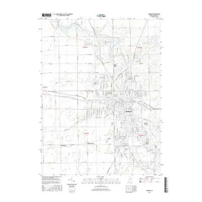
2016 Map of Marion
USGS Topo · Published 2016About this map
The Mississinewa River carves a winding path through the heart of Marion, anchoring a landscape where academic institutions and civic sites define the community's footprint. The campus of Indiana Wesleyan Univ sits prominently in the south, while the Indiana Business College-Marion serves the central district. This 2016 survey illustrates the city's relationship with its water management, showing a dense network of agricultural and urban drainage features like Steelman Ditch, Lomax Ditch, and Buck Run Ditch that protect the low-lying terrain.
Find a feature on this map
231 named features on this map. Tap any name to fly to it.
Don’t see what you’re looking for? This feature index may not catch every label — zoom into the map to look around manually.
Map Details
Editions of this 2016 Marion Map
This is the sole edition of this map. No revisions or reprints were ever made.
Other maps of this area

1950 · Mount Etna
USGS Topo · 1:24,000

1951 · Mount Etna
USGS Topo · 1:24,000

1953 · La Fontaine
USGS Topo · 1:24,000

1953 · Somerset
USGS Topo · 1:24,000

1953 · Muncie
USGS Topo · 1:250,000

1956 · Muncie
USGS Topo · 1:250,000

1960 · Point Isabel
USGS Topo · 1:24,000

1960 · Fairmount
USGS Topo · 1:24,000

1960 · Gas City
USGS Topo · 1:24,000

1961 · Marion
USGS Topo · 1:24,000