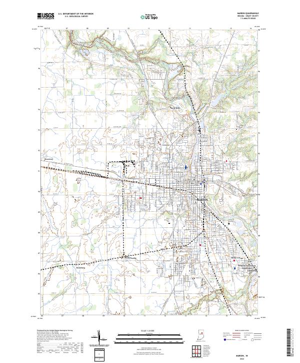
2022 Map of Marion
USGS Topo · Published 2022About this map
The Mississinewa River winds through the heart of Grant County, anchoring a landscape defined by the growth of Marion and its surrounding suburban and industrial reaches. This survey detail captures the city’s civic and educational core, featuring the Grant County Courthouse and the expansive campus of Indiana Wesleyan University. Beyond the city center, the map illustrates the development of outlying communities like Sweetser to the west and the northern edge of Gas City in the southeast.
Find a feature on this map
227 named features on this map. Tap any name to fly to it.
Don’t see what you’re looking for? This feature index may not catch every label — zoom into the map to look around manually.
Map Details
Editions of this 2022 Marion Map
This is the sole edition of this map. No revisions or reprints were ever made.
Other maps of this area

1950 · Mount Etna
USGS Topo · 1:24,000

1951 · Mount Etna
USGS Topo · 1:24,000

1953 · La Fontaine
USGS Topo · 1:24,000

1953 · Somerset
USGS Topo · 1:24,000

1953 · Muncie
USGS Topo · 1:250,000

1956 · Muncie
USGS Topo · 1:250,000

1960 · Point Isabel
USGS Topo · 1:24,000

1960 · Fairmount
USGS Topo · 1:24,000

1960 · Gas City
USGS Topo · 1:24,000

1961 · Marion
USGS Topo · 1:24,000