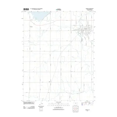
2012 Map of Marion
USGS Topo · Published 2012About this map
Marion serves as the focal point of this Kansas survey, situated where Mud Cr joins the Cottonwood River. The town's grid is dense with residential streets and contains a local Po, while the surrounding landscape is defined by the convergence of several major watercourses, including the N Cottonwood River and S Cottonwood River. To the northwest, Marion Lake dominates the horizon, providing a large reservoir for the region's agricultural needs.
Find a feature on this map
66 named features on this map. Tap any name to fly to it.
Don’t see what you’re looking for? This feature index may not catch every label — zoom into the map to look around manually.
Map Details
Editions of this 2012 Marion Map
This is the sole edition of this map. No revisions or reprints were ever made.
Other maps of this area

1889 · Newton
USGS Topo · 1:125,000

1894 · Newton
USGS Topo · 1:125,000

1898 · Cottonwood Falls
USGS Topo · 1:125,000

1955 · Hutchinson
USGS Topo · 1:250,000

1957 · Peabody NW
USGS Topo · 1:24,000

1957 · Florence
USGS Topo · 1:24,000

1957 · Lincolnville SW
USGS Topo · 1:24,000

1957 · Peabody
USGS Topo · 1:24,000

1959 · Hutchinson
USGS Topo · 1:250,000

1971 · Durham
USGS Topo · 1:24,000