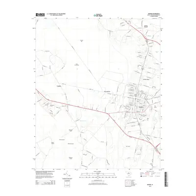
2014 Map of Marion
USGS Topo · Published 2014About this map
Marion serves as the focal point of this coastal plain landscape, where a dense grid of streets meets the surrounding lowlands and agricultural tracts. The area is defined by its complex hydrology, with the Catfish Canal and Millrace Stream draining a region characterized by significant bays and islands, such as Ellerbe Bay and Blackwell Island. These features suggest a history of managing the wet, low-lying terrain for settlement and transport.
Find a feature on this map
157 named features on this map. Tap any name to fly to it.
Don’t see what you’re looking for? This feature index may not catch every label — zoom into the map to look around manually.
Map Details
Editions of this 2014 Marion Map
This is the sole edition of this map. No revisions or reprints were ever made.
Other maps of this area

1940 · Florence East
USGS Topo · 1:62,500

1943 · Gum Swamp
USGS Topo · 1:62,500

1945 · Florence East
USGS Topo · 1:62,500

1946 · Mullins
USGS Topo · 1:24,000

1947 · Friendship
USGS Topo · 1:24,000

1947 · Marion
USGS Topo · 1:24,000

1947 · Centenary
USGS Topo · 1:24,000

1947 · Mullins
USGS Topo · 1:24,000

1953 · Florence
USGS Topo · 1:250,000

1954 · Florence
USGS Topo · 1:250,000