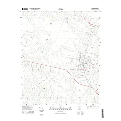
2017 Map of Marion
USGS Topo · Published 2017About this map
Marion serves as the focal point of this coastal plain landscape, where the traditional town grid meets a complex network of wetlands and bay formations. The surrounding terrain is defined by distinctive elliptical depressions such as Ellerbe Bay, Catfish Bay, and Gum Swamp Bay, which dictate the local drainage and road patterns. To the west and south, the landscape transitions into a mosaic of named islands and swamps, including Blackwell Island and Hickory Island positioned within the reaches of Johnson Swamp.
Find a feature on this map
114 named features on this map. Tap any name to fly to it.
Don’t see what you’re looking for? This feature index may not catch every label — zoom into the map to look around manually.
Map Details
Editions of this 2017 Marion Map
This is the sole edition of this map. No revisions or reprints were ever made.
Other maps of this area

1940 · Florence East
USGS Topo · 1:62,500

1943 · Gum Swamp
USGS Topo · 1:62,500

1945 · Florence East
USGS Topo · 1:62,500

1946 · Mullins
USGS Topo · 1:24,000

1947 · Friendship
USGS Topo · 1:24,000

1947 · Marion
USGS Topo · 1:24,000

1947 · Centenary
USGS Topo · 1:24,000

1947 · Mullins
USGS Topo · 1:24,000

1953 · Florence
USGS Topo · 1:250,000

1954 · Florence
USGS Topo · 1:250,000