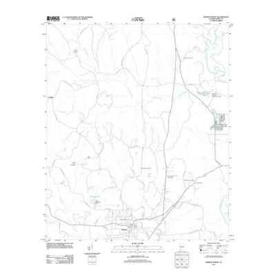
2011 Map of Marion North
USGS Topo · Published 2011About this map
Marion anchors this northern Perry County landscape, serving as a hub for the surrounding agricultural and wooded terrain. The Cahaba River winds through the eastern edge of the quadrangle, where the Marion National Fish Hatchery and several associated dams, including Marion Fish Hatchery Dam Number One and Marion Fish Hatchery Number Two Dam, indicate a significant focus on aquatic resource management. The area is dotted with small family and community burial grounds, such as Saint Wilfrids Cemetery and the Heard Cemetery, which are vital for genealogical research in this part of Alabama.
Find a feature on this map
62 named features on this map. Tap any name to fly to it.
Don’t see what you’re looking for? This feature index may not catch every label — zoom into the map to look around manually.
Map Details
Editions of this 2011 Marion North Map
This is the sole edition of this map. No revisions or reprints were ever made.
Other maps of this area

1953 · Montgomery
USGS Topo · 1:250,000

1956 · Montgomery
USGS Topo · 1:250,000

1957 · Montgomery
USGS Topo · 1:250,000

1959 · Summerfield
USGS Topo · 1:62,500

1975 · Summerfield SW
USGS Topo · 1:24,000

1979 · Marion North
USGS Topo · 1:24,000

1979 · Scott Station
USGS Topo · 1:24,000

1979 · Morgan Springs
USGS Topo · 1:24,000

1979 · Marion South
USGS Topo · 1:24,000

1979 · Harrisburg
USGS Topo · 1:24,000