2023 Map of Mark Center
USGS Topo · Published 2023About this map
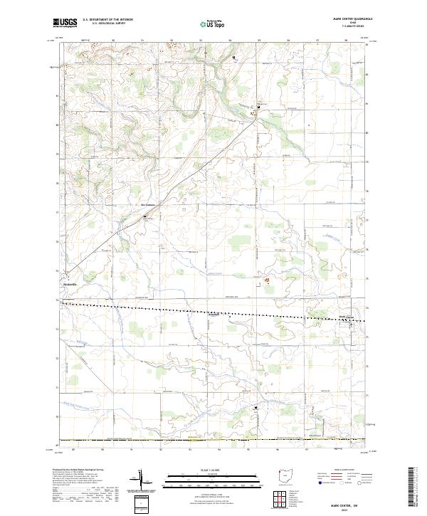
Mark Center and its surrounding agricultural landscape in Defiance County are defined by a regular grid of section lines and township boundaries. The area is characterized by several small clusters of activity, including Six-Corners and Rosedale, which stand as markers of early rural settlement patterns. This modern survey shows a landscape heavily integrated with its hydrology, as the North Fork Gordon Creek and Middle Fork Gordon Creek carve through the terrain before meeting the main Gordon Creek in the south.
Find a feature on this map
63 named features on this map. Tap any name to fly to it.
Don’t see what you’re looking for? This feature index may not catch every label — zoom into the map to look around manually.
Map Details
Editions of this 2023 Mark Center Map
This is the sole edition of this map. No revisions or reprints were ever made.
Historical Maps of Paulding County Through Time
10 maps found
1959 Defiance East
Defiance County, OH
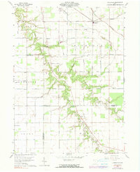
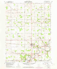
1960 Ayersville
Defiance County, OH
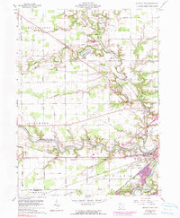
1960 Defiance West
Defiance County, OH
1960 Sherwood
Defiance County, OH
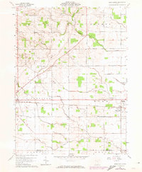
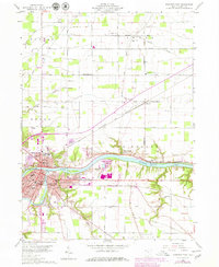
1961 Mark Center
Defiance County, OH
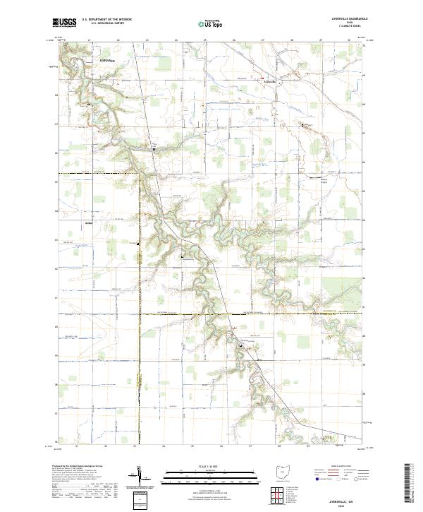
2023 Ayersville
Defiance County, OH
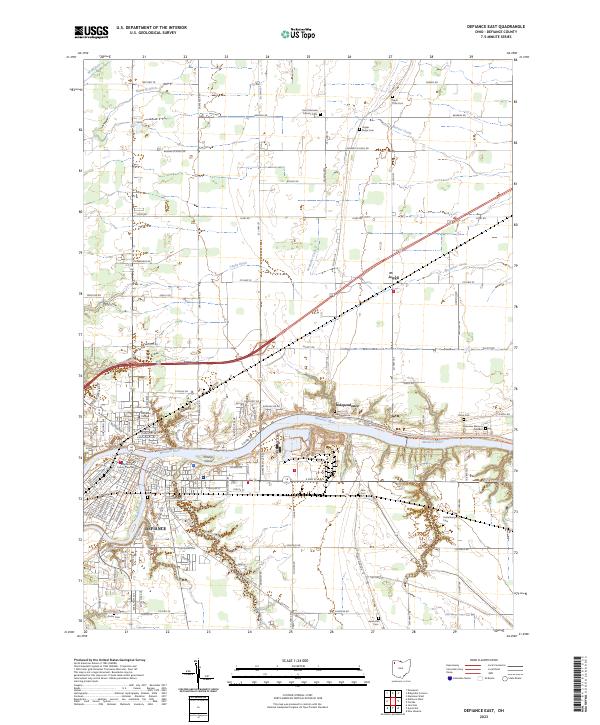
2023 Defiance East
Defiance County, OH
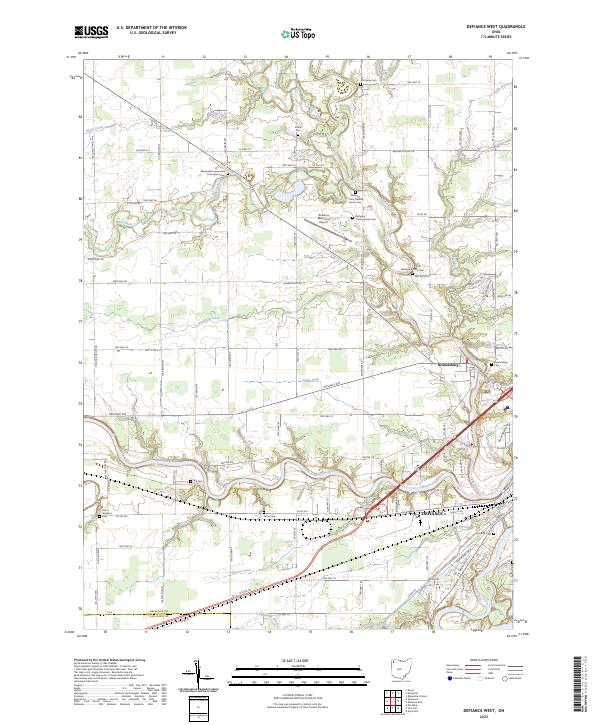
2023 Defiance West
Defiance County, OH
2023 Mark Center
Defiance County, OH
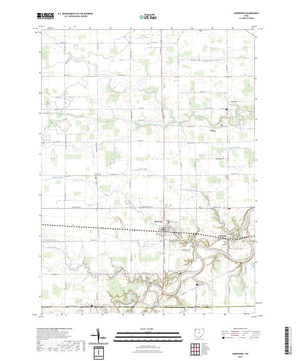
2023 Sherwood
Defiance County, OH
Featured Locations
- Farmer Township, OH
- Mark Township, OH
- Hicksville, Hicksville Township
- Rosedale, Hicksville Township
- Logan, Milford Township