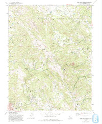
1993 Map of Mark West Springs
USGS Topo · Published 1993About this map
The Petrified Forest stands as a focal point in this portion of Sonoma County, nestled within a landscape defined by volcanic geology and steep drainages. To the north, Knights Valley and the historic Mallacomes or Moristul y Plan de Agua Caliente land grant transition into the high ridges of Chalk Mtn and Bell Mtn. The map documents a rural infrastructure centered on the winding Petrified Forest Road and St Helena Road, where local life clustered around the Franz Valley School.
Find a feature on this map
38 named features on this map. Tap any name to fly to it.
Don’t see what you’re looking for? This feature index may not catch every label — zoom into the map to look around manually.
Map Details
Editions of this 1993 Mark West Springs Map
2 editions found
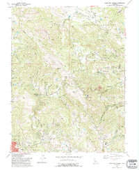
Other maps of this area

1916 · Santa Rosa
USGS Topo · 1:62,500

1920 · Healdsburg
USGS Topo · 1:62,500

1927 · Calistoga
USGS Topo · 1:62,500

1933 · Healdsburg
USGS Topo · 1:48,000

1935 · Sebastopol
USGS Topo · 1:48,000

1940 · Healdsburg
USGS Topo · 1:62,500

1942 · Sebastopol
USGS Topo · 1:62,500

1943 · Calistoga
USGS Topo · 1:62,500

1944 · Santa Rosa
USGS Topo · 1:62,500

1945 · Calistoga
USGS Topo · 1:62,500