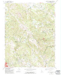
1993 Map of Mark West Springs
USGS Topo · Published 1993About this map
Petrified Forest stands as a focal point in this 1993 revision of the Sonoma County landscape, situated where the road networks of Porter Creek Road and Petrified Forest Road converge. The area is defined by a complex drainage system, with Mark West Creek and its many tributaries, such as Humbug Creek and Mill Creek, carving through the varied terrain. This map captures the transition between the agricultural expanses of Knights Valley and the steep, wooded heights of Redwood Hill and Chalk Mtn.
Find a feature on this map
34 named features on this map. Tap any name to fly to it.
Don’t see what you’re looking for? This feature index may not catch every label — zoom into the map to look around manually.
Map Details
Editions of this 1993 Mark West Springs Map
2 editions found
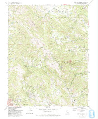
Other maps of this area

1916 · Santa Rosa
USGS Topo · 1:62,500

1920 · Healdsburg
USGS Topo · 1:62,500

1927 · Calistoga
USGS Topo · 1:62,500

1933 · Healdsburg
USGS Topo · 1:48,000

1935 · Sebastopol
USGS Topo · 1:48,000

1940 · Healdsburg
USGS Topo · 1:62,500

1942 · Sebastopol
USGS Topo · 1:62,500

1943 · Calistoga
USGS Topo · 1:62,500

1944 · Santa Rosa
USGS Topo · 1:62,500

1945 · Calistoga
USGS Topo · 1:62,500