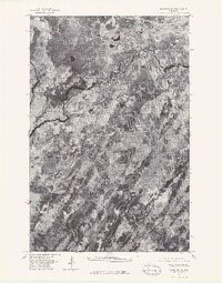
1976 Map of Markham NE
USGS Topo · Published 1979About this map
The St Louis River carves a sinuous path through the upper portion of this orthophotoquad, which captures the northern Minnesota landscape in the mid-1970s. This aerial imagery provides a direct look at the region’s wetland patterns, forest cover, and drainage networks as they appeared on May 15, 1976. Unlike traditional topographic maps, this photographic survey reveals the texture of the terrain and the specific distribution of vegetation across the St. Louis County area. The lack of dense development underscores the area's rural character, dominated by the natural hydrology of the winding river and the surrounding lowlands.
Find a feature on this map
1 named feature on this map. Tap any name to fly to it.
Don’t see what you’re looking for? This feature index may not catch every label — zoom into the map to look around manually.
Map Details
Editions of this 1976 Markham NE Map
This is the sole edition of this map. No revisions or reprints were ever made.
Other maps of this area

1949 · Aurora
USGS Topo · 1:24,000

1949 · Allen
USGS Topo · 1:24,000

1950 · Allen
USGS Topo · 1:24,000

1950 · Aurora
USGS Topo · 1:24,000

1951 · Babbitt SW
USGS Topo · 1:24,000

1954 · Two Harbors
USGS Topo · 1:250,000

1954 · Hibbing
USGS Topo · 1:250,000

1957 · Two Harbors
USGS Topo · 1:250,000

1957 · Hibbing
USGS Topo · 1:250,000

1957 · Brimson
USGS Topo · 1:62,500