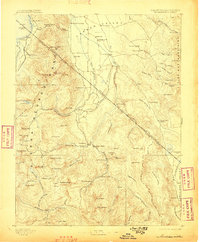
1893 Map of Markleeville
USGS Topo · Published 1898About this map
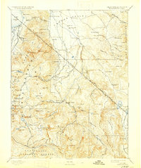
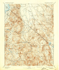
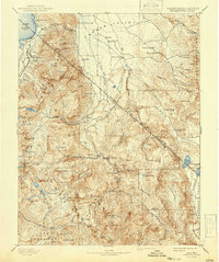
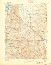
Markleeville and the surrounding high-altitude terrain of Alpine and Douglas counties are documented here in a detailed survey from the late nineteenth century. The map captures the rugged boundary where the Sierra Nevada range meets the Carson Valley, highlighting early outposts like Walleys Hot Springs, Woodfords, and the now-historic mining site of Silver Mountain. The landscape is a network of steep passes and high peaks, including Freel Peak and Jobs Peak, alongside crucial high-country waters such as Blue Lakes and the southern reaches of Lake Tahoe.
Find a feature on this map
115 named features on this map. Tap any name to fly to it.
Don’t see what you’re looking for? This feature index may not catch every label — zoom into the map to look around manually.
Map Details
Editions of this 1893 Markleeville Map
9 editions found

Other maps of this area

1889 · Pyramid Peak
USGS Topo · 1:125,000

1889 · Markleeville
USGS Topo · 1:125,000

1891 · Carson
USGS Topo · 1:125,000

1891 · Markleeville
USGS Topo · 1:125,000

1891 · Truckee
USGS Topo · 1:125,000

1891 · Big Trees
USGS Topo · 1:125,000

1891 · Wabuska
USGS Topo · 1:125,000

1891 · Pyramid Peak
USGS Topo · 1:125,000

1891 · Wellington
USGS Topo · 1:125,000

1893 · Carson
USGS Topo · 1:125,000