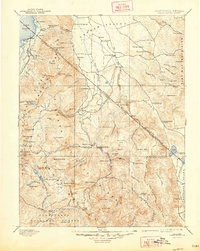
1893 Map of Markleeville
USGS Topo · Published 1948About this map
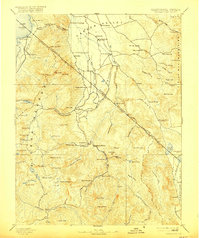
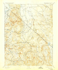
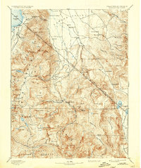
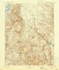
Markleeville and the high mountain passes of the Carson Range dominate this 1889 reconnaissance survey, which captures the rugged borderlands of California and Nevada during a period of silver-mining and ranching development. The map details the complex terrain where the West Fork Carson River and East Fork Carson River descend into the Carson Valley, supporting early valley settlements like Minden, Gardnerville, and Sheridan. Further south, the site of Silver Mountain reflects the region's mining heritage, while high-altitude lakes like Blue Lakes, Burnside Lake, and the southern shore of Lake Tahoe are mapped with early trail networks and pioneer waypoints.
Find a feature on this map
136 named features on this map. Tap any name to fly to it.
Don’t see what you’re looking for? This feature index may not catch every label — zoom into the map to look around manually.
Map Details
Editions of this 1893 Markleeville Map
9 editions found

Other maps of this area

1889 · Pyramid Peak
USGS Topo · 1:125,000

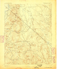
1889 · Markleeville
USGS Topo · 1:125,000

1891 · Carson
USGS Topo · 1:125,000

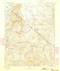
1891 · Markleeville
USGS Topo · 1:125,000

1891 · Truckee
USGS Topo · 1:125,000

1891 · Big Trees
USGS Topo · 1:125,000

1891 · Wabuska
USGS Topo · 1:125,000

1891 · Pyramid Peak
USGS Topo · 1:125,000

1891 · Wellington
USGS Topo · 1:125,000

1893 · Carson
USGS Topo · 1:125,000