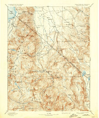
1893 Map of Markleeville
USGS Topo · Published 1936About this map
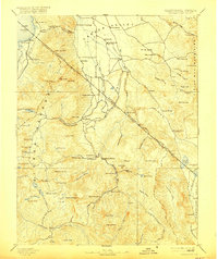
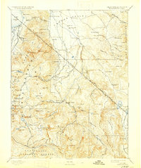
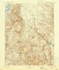
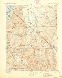
Carson Valley serves as a central hub for ranching and transport in this 1889 survey, where the West Fork Carson River and East Fork Carson River nourish a string of early settlements. Along the eastern Sierra Nevada slopes, the towns of Minden and Gardnerville appear alongside historical waypoints like Twelve Mile House and Walleys Hot Springs. High-altitude terrain transitions from the shores of Lake Tahoe at Bijou and Lakeside into the steep ridges of the Pine Nut Mountains. The map provides a look at the infrastructure of the era, from the strategic Hangmans Bridge to the remote Vaquero Camp in the south. These details reveal the early balance between the growing towns of Alpine County and the high-country resource extraction sites, including peaks like Leviathan Peak and Mount Bullion that drew early prospectors and surveyors.
Find a feature on this map
129 named features on this map. Tap any name to fly to it.
Don’t see what you’re looking for? This feature index may not catch every label — zoom into the map to look around manually.
Map Details
Editions of this 1893 Markleeville Map
9 editions found

Other maps of this area

1889 · Pyramid Peak
USGS Topo · 1:125,000

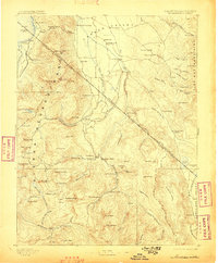
1889 · Markleeville
USGS Topo · 1:125,000

1891 · Carson
USGS Topo · 1:125,000

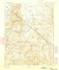
1891 · Markleeville
USGS Topo · 1:125,000

1891 · Truckee
USGS Topo · 1:125,000

1891 · Big Trees
USGS Topo · 1:125,000

1891 · Wabuska
USGS Topo · 1:125,000

1891 · Pyramid Peak
USGS Topo · 1:125,000

1891 · Wellington
USGS Topo · 1:125,000

1893 · Carson
USGS Topo · 1:125,000