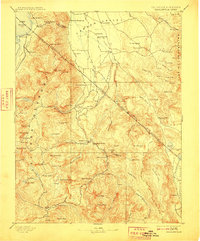
1893 Map of Markleeville
USGS Topo · Published 1910About this map
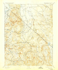
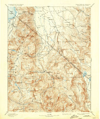
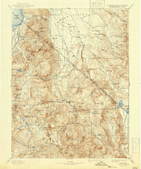
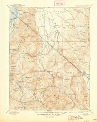
Markleeville and the high Sierra peaks dominate this late 19th-century survey of the California-Nevada borderlands. The landscape is defined by the steep transition from the Lake Tahoe basin and the sawtooth summits of Freel Peak and Highland Peak down into the pastoral Carson Valley. Settlement patterns follow the water, with towns like Gardnerville and Sheridan established along the West Fork Carson River. Evidence of the region's mining and transit history is visible in the placement of Silver Mountain, Monitor, and the ominous Hangmans Bridge near the county seat. Notable early roadside stops and resorts, such as Twelve Mile House, Desert Station, and Walleys Hot Springs, highlight the established travel routes connecting the silver camps to the agricultural valleys and the growing communities around Bijou and Rowlands.
Find a feature on this map
121 named features on this map. Tap any name to fly to it.
Don’t see what you’re looking for? This feature index may not catch every label — zoom into the map to look around manually.
Map Details
Editions of this 1893 Markleeville Map
9 editions found

Other maps of this area

1889 · Pyramid Peak
USGS Topo · 1:125,000

1889 · Markleeville
USGS Topo · 1:125,000

1891 · Carson
USGS Topo · 1:125,000

1891 · Markleeville
USGS Topo · 1:125,000

1891 · Truckee
USGS Topo · 1:125,000

1891 · Big Trees
USGS Topo · 1:125,000

1891 · Wabuska
USGS Topo · 1:125,000

1891 · Pyramid Peak
USGS Topo · 1:125,000

1891 · Wellington
USGS Topo · 1:125,000

1893 · Carson
USGS Topo · 1:125,000