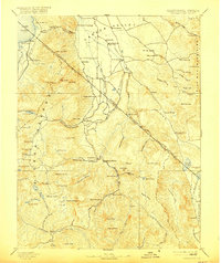
1893 Map of Markleeville
USGS Topo · Published 1916About this map
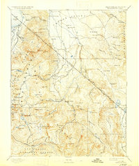
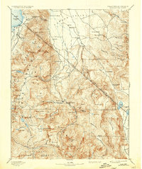
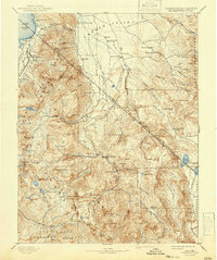
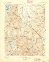
The Sierra Nevada range and the High Sierra's eastern slopes dominate this late-nineteenth-century survey, centering on the rugged borderlands of California and Nevada. High-altitude ranching and timber interests are evident in Lake Valley near the shores of Lake Tahoe, where early roadhouses like Sierra House and Bijon served travelers crossing the mountains. Further south, the map details a landscape of early mining districts and pioneer outposts, including Silver Mountain and the mining camp of Monitor. The topography highlights the critical mountain passes used by early emigrants and freight haulers, such as Carson Pass and Luthers Pass. In the lower valleys, the agricultural development along the West Fork Carson River is anchored by the nascent settlements of Gardnerville and Sheridan, while social hubs like Walleys Hot Springs provided relief to weary travelers along the route.
Find a feature on this map
120 named features on this map. Tap any name to fly to it.
Don’t see what you’re looking for? This feature index may not catch every label — zoom into the map to look around manually.
Map Details
Editions of this 1893 Markleeville Map
9 editions found

Other maps of this area

1889 · Pyramid Peak
USGS Topo · 1:125,000

1889 · Markleeville
USGS Topo · 1:125,000

1891 · Carson
USGS Topo · 1:125,000

1891 · Markleeville
USGS Topo · 1:125,000

1891 · Truckee
USGS Topo · 1:125,000

1891 · Big Trees
USGS Topo · 1:125,000

1891 · Wabuska
USGS Topo · 1:125,000

1891 · Pyramid Peak
USGS Topo · 1:125,000

1891 · Wellington
USGS Topo · 1:125,000

1893 · Carson
USGS Topo · 1:125,000