
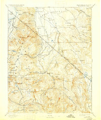
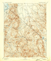
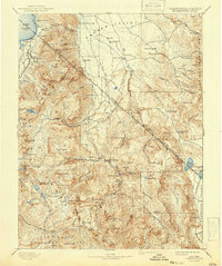
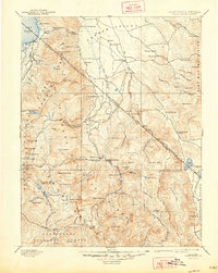
1893 Map of Markleeville
USGS Topo · Published 1893About this map
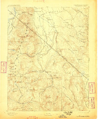
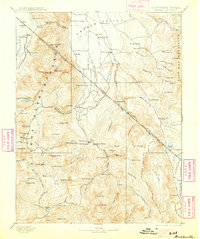
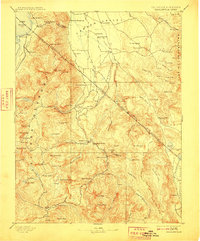
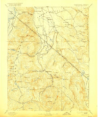
Markleeville serves as the central hub of this late-nineteenth-century study, situated at the junction of the West Fork Carson River and the high peaks of the Sierra Nevada. The landscape is defined by the steep descent from the El Dorado Range and the southern shores of Lake Tahoe down into the fertile Carson Valley. This era of western expansion is documented through early stopping points and settlements such as Twelve Mile House, Desert Station, and Walleys Hot Springs, which trace the primary travel corridors through the mountains.
Find a feature on this map
119 named features on this map. Tap any name to fly to it.
Don’t see what you’re looking for? This feature index may not catch every label — zoom into the map to look around manually.
Map Details
Editions of this 1893 Markleeville Map
9 editions found
Other maps of this area

1889 · Pyramid Peak
USGS Topo · 1:125,000

1889 · Markleeville
USGS Topo · 1:125,000

1891 · Carson
USGS Topo · 1:125,000

1891 · Markleeville
USGS Topo · 1:125,000

1891 · Truckee
USGS Topo · 1:125,000

1891 · Big Trees
USGS Topo · 1:125,000

1891 · Wabuska
USGS Topo · 1:125,000

1891 · Pyramid Peak
USGS Topo · 1:125,000

1891 · Wellington
USGS Topo · 1:125,000

1893 · Carson
USGS Topo · 1:125,000