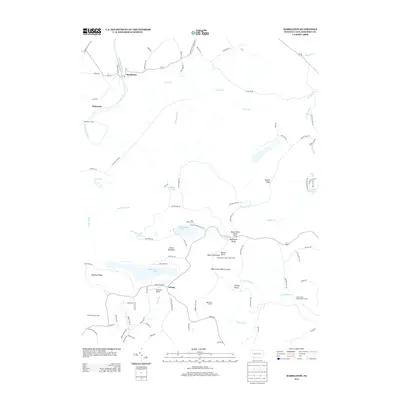
2013 Map of Markleton
USGS Topo · Published 2013About this map
Mount Davis rises as the central focal point of this Pennsylvania landscape, standing atop Negro Mountain alongside the Mount Davis Observation Tower. The terrain is defined by its dramatic elevation changes, from the Casselman River valley in the northwest to the high ridges of Glade Mountain and Winding Ridge. Infrastructure here reflects the difficulty of the geography, notably the Pinkerton Tunnel and the winding course of Markleton Rd as it follows the river near the settlement of Markleton. Local history and recreational development are evident at Deer Valley Camp and High Point Lake, while smaller hamlets like Pinkerton and Savage are connected by a network of rural roads such as Savage Rd and Christner Hollow Rd. The map also captures specialized sites like the Keystone Airport and the Mount Davis Picnic Area, illustrating a region where public lands and remote settlements meet.
Find a feature on this map
98 named features on this map. Tap any name to fly to it.
Don’t see what you’re looking for? This feature index may not catch every label — zoom into the map to look around manually.
Map Details
Editions of this 2013 Markleton Map
This is the sole edition of this map. No revisions or reprints were ever made.
Other maps of this area

1899 · Grantsville
USGS Topo · 1:62,500

1900 · Accident
USGS Topo · 1:62,500

1904 · Grantsville
USGS Topo · 1:62,500

1921 · Meyersdale
USGS Topo · 1:62,500

1922 · Confluence
USGS Topo · 1:62,500

1931 · Confluence
USGS Topo · 1:62,500

1933 · Confluence
USGS Topo · 1:62,500

1939 · Meyersdale
USGS Topo · 1:62,500

1944 · Meyersdale
USGS Topo · 1:62,500

1946 · Grantsville
USGS Topo · 1:24,000
Featured Places
- Elk Lick Township, PA
- Upper Turkeyfoot Township, PA
- Black Township, PA
- Addison Township, PA
- Markleton, Black Township