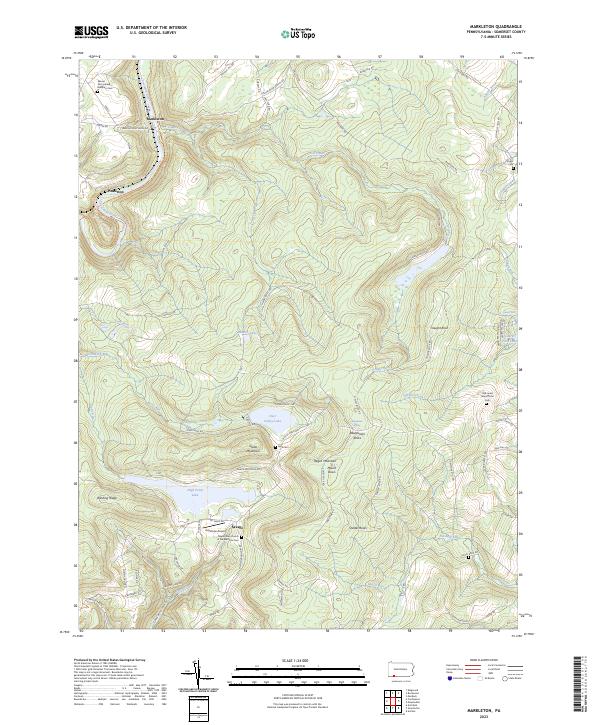
2023 Map of Markleton
USGS Topo · Published 2023About this map
Mount Davis anchors this portion of the Allegheny Mountains, serving as the highest point in Pennsylvania within the Negro Mountain ridge. The landscape is defined by its high-altitude plateaus and the deep incision of the Casselman River valley to the northwest. Along the river, the small settlements of Markleton and Pinkerton are linked by the CSX railroad and the Great Allegheny Passage National Scenic Trl, which follows the historic rail corridor.
Find a feature on this map
90 named features on this map. Tap any name to fly to it.
Don’t see what you’re looking for? This feature index may not catch every label — zoom into the map to look around manually.
Map Details
Editions of this 2023 Markleton Map
This is the sole edition of this map. No revisions or reprints were ever made.
Other maps of this area

1899 · Grantsville
USGS Topo · 1:62,500

1900 · Accident
USGS Topo · 1:62,500

1904 · Grantsville
USGS Topo · 1:62,500

1921 · Meyersdale
USGS Topo · 1:62,500

1922 · Confluence
USGS Topo · 1:62,500

1931 · Confluence
USGS Topo · 1:62,500

1933 · Confluence
USGS Topo · 1:62,500

1939 · Meyersdale
USGS Topo · 1:62,500

1944 · Meyersdale
USGS Topo · 1:62,500

1946 · Grantsville
USGS Topo · 1:24,000
Featured Places
- Upper Turkeyfoot Township, PA
- Black Township, PA
- Addison Township, PA
- Summit Township, PA
- Markleton, Black Township