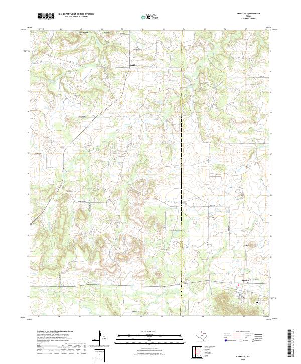
2022 Map of Markley
USGS Topo · Published 2022About this map
Markley and Jermyn serve as the primary focal points of this north Texas landscape, situated along the county line where Young and Jack counties meet. The terrain is defined by a series of prominent elevations including Rattlesnake Mtn, Bare Mtn, and Spie Knob, which rise above the drainage basins of Brushy Cr, Plum Cr, and Cameron Cr. For those researching local family history, the map identifies key locations such as Markley Cem and Graceland Cem, alongside a network of rural routes like Old Gertrude Rd and Stewart Ranch Rd. The settlement pattern reflects the enduring rural character of the region, with small community centers connected by farm-to-market roads and long-established ranching access ways.
Find a feature on this map
38 named features on this map. Tap any name to fly to it.
Don’t see what you’re looking for? This feature index may not catch every label — zoom into the map to look around manually.
Map Details
Editions of this 2022 Markley Map
This is the sole edition of this map. No revisions or reprints were ever made.
Other maps of this area

1927 · Graham
USGS Topo · 1:62,500

1954 · Wichita Falls
USGS Topo · 1:250,000

1958 · Wichita Falls
USGS Topo · 1:250,000

1962 · Antelope Creek NE
USGS Topo · 1:24,000

1964 · Senate
USGS Topo · 1:24,000

1964 · Darnell Branch
USGS Topo · 1:24,000

1964 · Loving
USGS Topo · 1:24,000

1964 · Bryson
USGS Topo · 1:24,000

1964 · Lake Eddleman
USGS Topo · 1:24,000

1964 · Lynn Creek
USGS Topo · 1:24,000