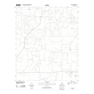
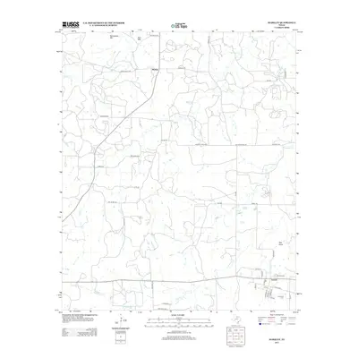
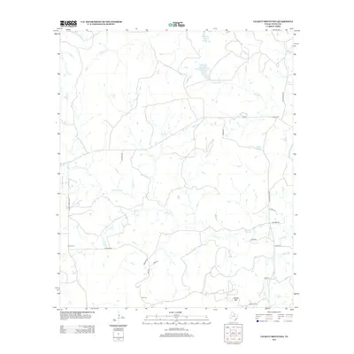
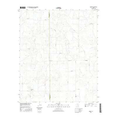
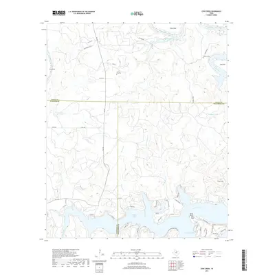
1964 Map of Markley
USGS Topo · Published 1982About this map
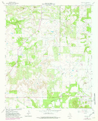
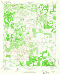
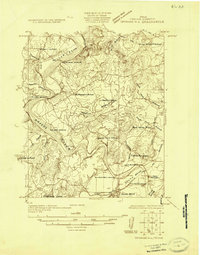
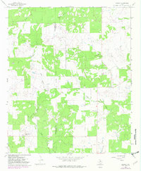
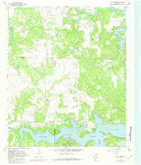
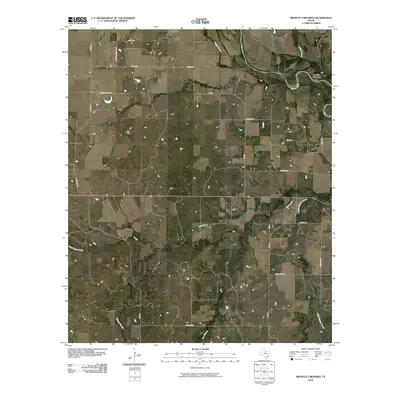
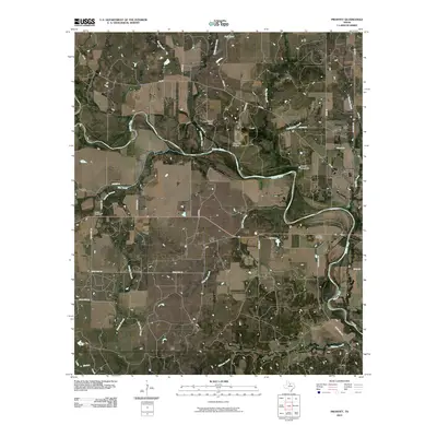
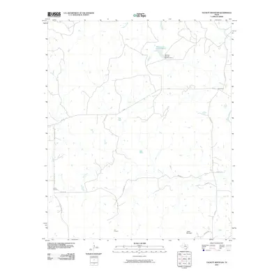
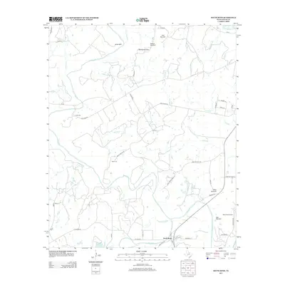
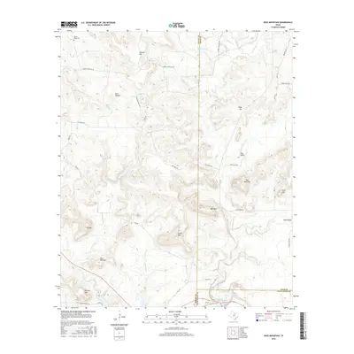
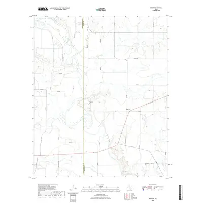
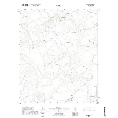
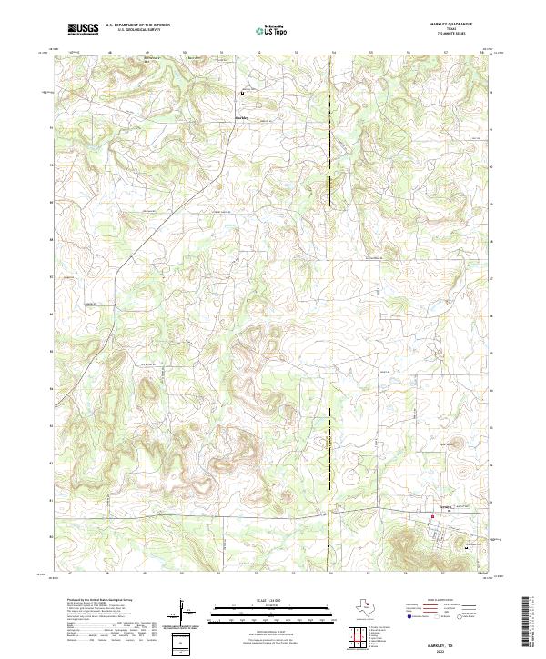
The borderlands of Young and Jack Counties in North Texas are defined by a network of cattle-country drainages and rising oil production. The small settlement of Markley and the community at Prideaux anchor the northern reaches, where an extensive Oil Field is established near Bare Mountain. Local spiritual and communal life centers on Plum Grove Ch and the Graceland Cem further south. The landscape is characterized by prominent elevations such as Rattlesnake Mountain and Spie Knob, which overlook winding watercourses like Wilton Creek and Cameron Creek. An Old Railroad Grade near Jermyn indicates the path of former rail commerce through this ranching region. Photorevised in the early 1980s, the survey captures the area's transition from traditional homesteads to an era of expanded petroleum extraction and improved rural road networks.
Find a feature on this map
18 named features on this map. Tap any name to fly to it.
Don’t see what you’re looking for? This feature index may not catch every label — zoom into the map to look around manually.
Map Details
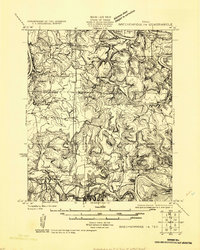
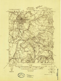
Editions of this 1964 Markley Map
2 editions found
Historical Maps of Markley Through Time
69 maps found
1924 Breckenridge 1-a
Young County, TX
1924 Graham 4-d
Young County, TX
1925 Graham 4-c
Young County, TX
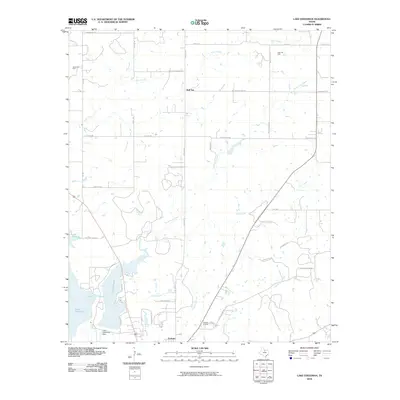
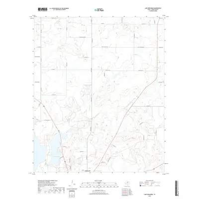
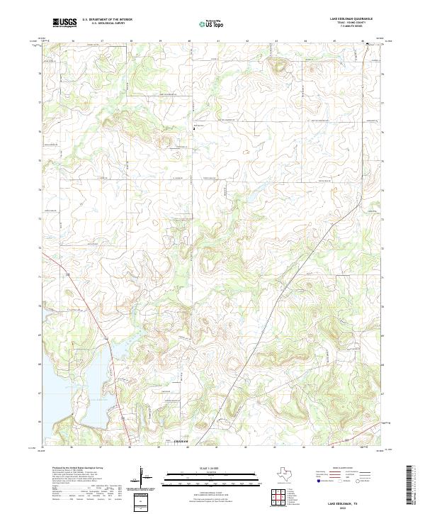
1964 Lake Eddleman
Young County, TX
1964 Markley
Young County, TX
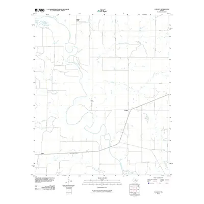
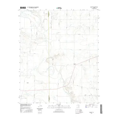
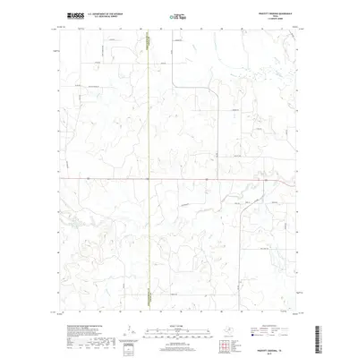
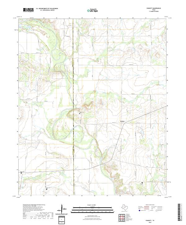
1964 Padgett
Young County, TX
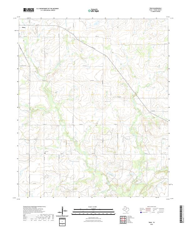
1964 True
Young County, TX
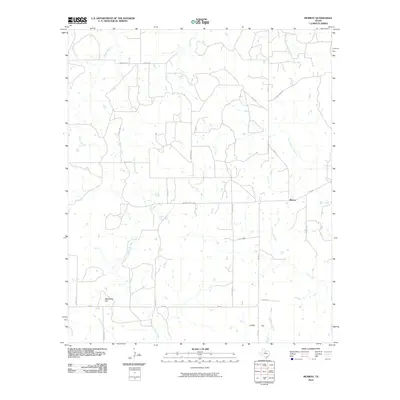
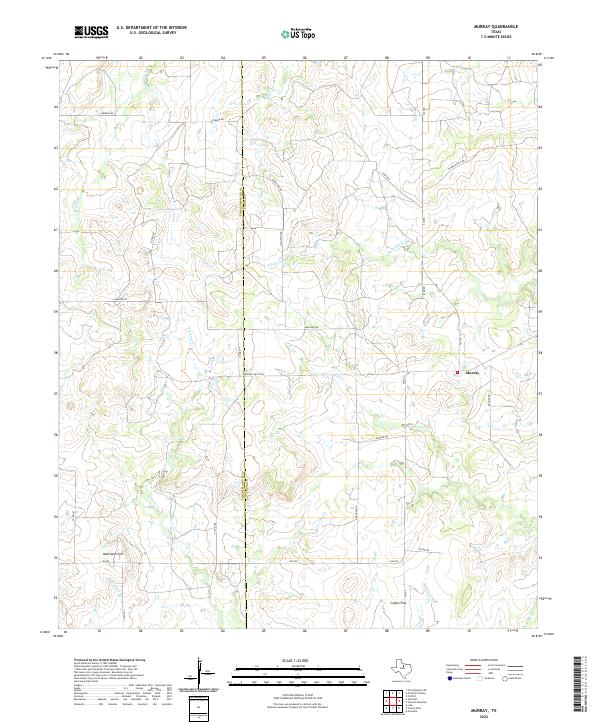
1966 Murray
Young County, TX
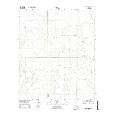
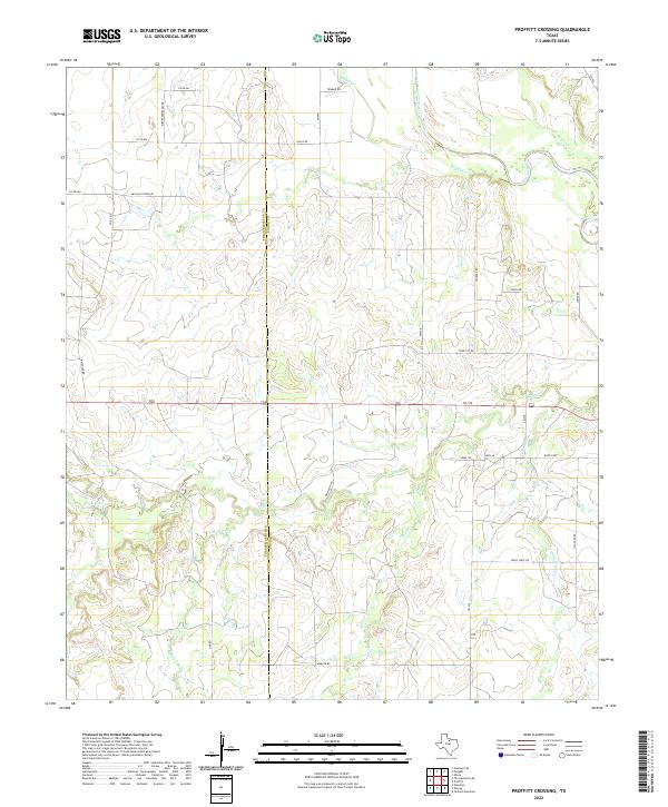
1966 Proffitt Crossing
Young County, TX
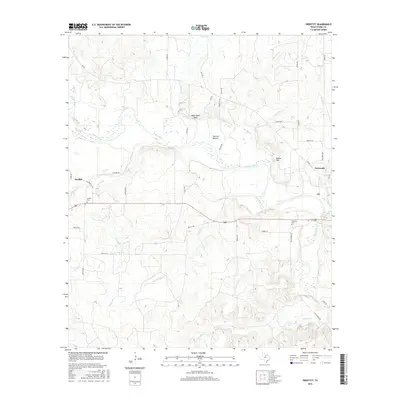
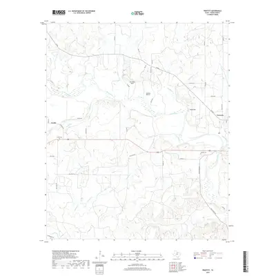
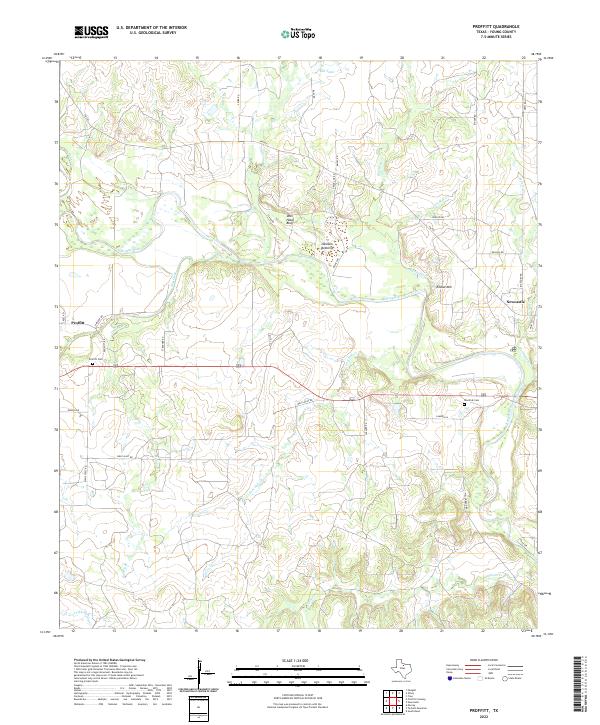
1966 Proffitt
Young County, TX
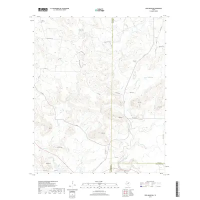
1966 Tackett Mountain
Young County, TX
1967 Cove Creek
Young County, TX
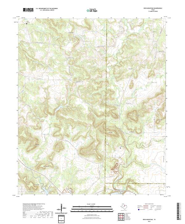
1967 Ross Mountain
Young County, TX
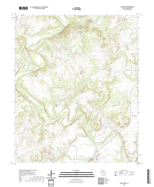
1967 South Bend
Young County, TX
2010 Cove Creek
Young County, TX
2010 Lake Eddleman
Young County, TX
2010 Markley
Young County, TX
2010 Murray
Young County, TX
2010 Padgett
Young County, TX
2010 Proffitt Crossing
Young County, TX
2010 Proffitt
Young County, TX
2010 Ross Mountain
Young County, TX
2010 South Bend
Young County, TX
2010 Tackett Mountain
Young County, TX
2010 True
Young County, TX
2012 Cove Creek
Young County, TX
2012 Lake Eddleman
Young County, TX
2012 Markley
Young County, TX
2012 Murray
Young County, TX
2012 Proffitt Crossing
Young County, TX
2012 Ross Mountain
Young County, TX
2012 Tackett Mountain
Young County, TX
2012 True
Young County, TX
2013 Padgett
Young County, TX
2013 Proffitt
Young County, TX
2013 South Bend
Young County, TX
2016 Cove Creek
Young County, TX
2016 Lake Eddleman
Young County, TX
2016 Markley
Young County, TX
2016 Murray
Young County, TX
2016 Padgett
Young County, TX
2016 Proffitt Crossing
Young County, TX
2016 Proffitt
Young County, TX
2016 Ross Mountain
Young County, TX
2016 South Bend
Young County, TX
2016 Tackett Mountain
Young County, TX
2016 True
Young County, TX
2019 Cove Creek
Young County, TX
2019 Lake Eddleman
Young County, TX
2019 Markley
Young County, TX
2019 Murray
Young County, TX
2019 Padgett
Young County, TX
2019 Proffitt Crossing
Young County, TX
2019 Proffitt
Young County, TX
2019 Ross Mountain
Young County, TX
2019 South Bend
Young County, TX
2019 Tackett Mountain
Young County, TX
2019 True
Young County, TX
2022 Cove Creek
Young County, TX
2022 Lake Eddleman
Young County, TX
2022 Markley
Young County, TX
2022 Murray
Young County, TX
2022 Padgett
Young County, TX
2022 Proffitt Crossing
Young County, TX
2022 Proffitt
Young County, TX
2022 Ross Mountain
Young County, TX
2022 South Bend
Young County, TX

2022 Tackett Mountain
Young County, TX
2022 True
Young County, TX