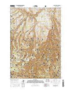
2017 Map of Marley Creek
USGS Topo · Published 2017About this map
Camp Elkanah and the settlement of Starkey serve as the primary human outposts within this section of the Whitman National Forest. The landscape is defined by the deep incisions of Tybow Canyon and the high elevation of Fly Ridge, where a network of forest development roads like Nat For Dev Rd 2442 and Marley One Rd connect the remote terrain. In the northeast, the Grande Ronde River flows near Whitehorse Ridge, highlighting the vital water systems that have shaped the region's geography. Genealogists and local historians will find the Starkey Cem near Meadow Cr, a quiet marker of the area's early residents. The abundance of named water sources, such as Blue Mountain Spring, Cabbage Spring, and Time and a Half Spring, reflects the importance of natural springs in these forested uplands.
Find a feature on this map
43 named features on this map. Tap any name to fly to it.
Don’t see what you’re looking for? This feature index may not catch every label — zoom into the map to look around manually.
Map Details
Editions of this 2017 Marley Creek Map
This is the sole edition of this map. No revisions or reprints were ever made.
Other maps of this area

1953 · Pendleton
USGS Topo · 1:250,000

1956 · Pendleton
USGS Topo · 1:250,000

1964 · Mc Intyre Creek
USGS Topo · 1:24,000

1964 · Kamela SE
USGS Topo · 1:24,000

1965 · Limber Jim Creek
USGS Topo · 1:24,000

1965 · Marley Creek
USGS Topo · 1:24,000

1965 · Little Beaver Creek
USGS Topo · 1:24,000

1965 · Fly Valley
USGS Topo · 1:24,000

1967 · Tower Mtn
USGS Topo · 1:24,000

1967 · Sullivan Gulch
USGS Topo · 1:24,000