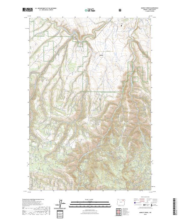
2023 Map of Marley Creek
USGS Topo · Published 2023About this map
Starkey serves as a central point in this mountain landscape, located where Starkey Rd meets the upper reaches of the Grande Ronde River. The area is defined by its network of springs and drainage creeks, including Marley Creek and Fly Creek, which carve through the high terrain of the Whitman National Forest. Local history is anchored by the Starkey Cem and the presence of Camp Elkanah along the banks of Meadow Creek. The terrain is marked by distinctive geological features like Johnson Rock and the steep Tybow Canyon, reflecting a landscape dominated by timber management and high-altitude watershed protection. Numerous named water sources, such as Blue Mountain Springs and Time and a Half Spring, suggest the vital importance of water rights and livestock grazing in this part of Union County.
Find a feature on this map
41 named features on this map. Tap any name to fly to it.
Don’t see what you’re looking for? This feature index may not catch every label — zoom into the map to look around manually.
Map Details
Editions of this 2023 Marley Creek Map
This is the sole edition of this map. No revisions or reprints were ever made.
Other maps of this area

1953 · Pendleton
USGS Topo · 1:250,000

1956 · Pendleton
USGS Topo · 1:250,000

1964 · Mc Intyre Creek
USGS Topo · 1:24,000

1964 · Kamela SE
USGS Topo · 1:24,000

1965 · Limber Jim Creek
USGS Topo · 1:24,000

1965 · Marley Creek
USGS Topo · 1:24,000

1965 · Little Beaver Creek
USGS Topo · 1:24,000

1965 · Fly Valley
USGS Topo · 1:24,000

1967 · Tower Mtn
USGS Topo · 1:24,000

1967 · Sullivan Gulch
USGS Topo · 1:24,000