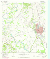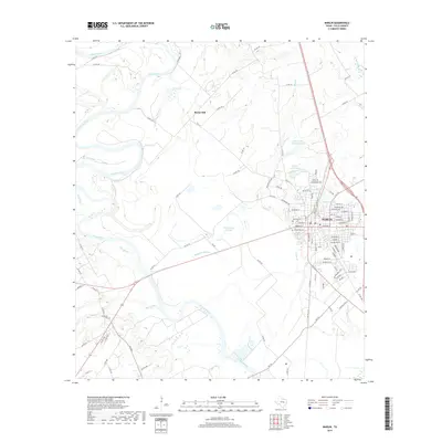
1985 Map of Marlin
USGS Topo · Published 1992About this map
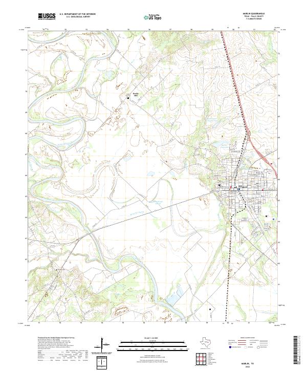
The Brazos River meanders along the western edge of this Central Texas landscape, defining a fertile corridor where the settlement of Marlin serves as a primary hub. The region is heavily shaped by its mid-century transportation networks, with the Missouri Pacific, Southern Pacific, and Burlington Northern railroads intersecting to connect rural outposts like Bremond and Marquez. The transition from river bottomlands to the interior is marked by the sprawling Limestone Lake and significant water features like the Navasota River and Big Sandy Creek.
Find a feature on this map
108 named features on this map. Tap any name to fly to it.
Don’t see what you’re looking for? This feature index may not catch every label — zoom into the map to look around manually.
Map Details
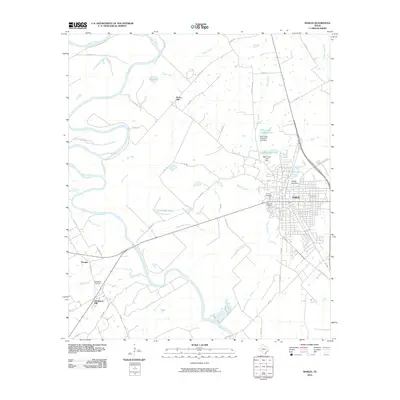
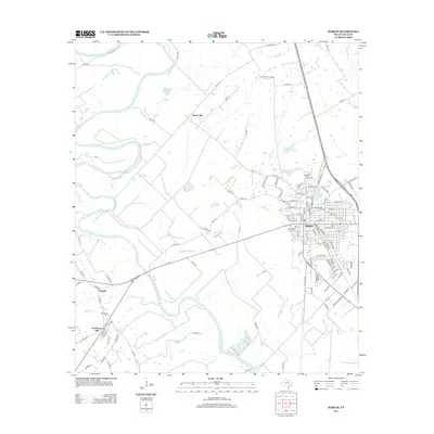
Editions of this 1985 Marlin Map
2 editions found

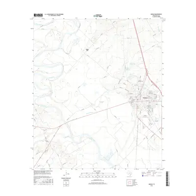
Historical Maps of Marlin Through Time
7 maps found