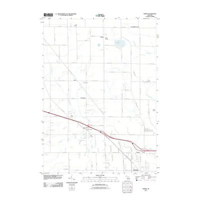
2011 Map of Marne
USGS Topo · Published 2011About this map
Marne and the expanding western reaches of Walker anchor this 2011 survey of Kent County, where rural crossroads and suburban development meet. The landscape is defined by its small agricultural hubs like Fruit Ridge Center, Wright, and Herrington, alongside a significant network of family and community burial grounds, including Big Springs Cemetery and Saint Joseph's Cemetery. The northern section of the map shows the headwaters of Mill Creek and Cranberry Lake, while the Musketawa Trl provides a notable recreational path following former rail corridors through the heart of the region.
Find a feature on this map
80 named features on this map. Tap any name to fly to it.
Don’t see what you’re looking for? This feature index may not catch every label — zoom into the map to look around manually.
Map Details
Editions of this 2011 Marne Map
This is the sole edition of this map. No revisions or reprints were ever made.
Other maps of this area

1914 · Grand Rapids
USGS Topo · 1:62,500

1918 · Cedar Springs
USGS Topo · 1:62,500

1943 · Cedar Springs
USGS Topo · 1:62,500

1943 · Grand Rapids
USGS Topo · 1:62,500

1945 · Ravenna
USGS Topo · 1:62,500

1954 · Midland
USGS Topo · 1:250,000

1958 · Midland
USGS Topo · 1:250,000

1958 · Allendale
USGS Topo · 1:24,000

1958 · Grandville
USGS Topo · 1:62,500

1958 · Grandville
USGS Topo · 1:24,000