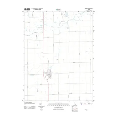
2012 Map of Maroa
USGS Topo · Published 2012About this map
Maroa anchors this agricultural landscape of central Illinois, where the grid of rural roads meets the diagonal path of Old US Hwy 51. The town's residential core is defined by streets like N Wood St and S Chestnut St, while the Maroa Cem lies just to the east. Northward, the small settlement of Ospur sits near the crossing of Salt Cr, which meanders through the northern plains alongside Banta Lakes. This survey captures the region's late 20th-century development, including the significant footprint of the Clinton Landfill and the local aviation hub at Margenthaler Airport. Water features such as the N Fork Lake Fork and the southern reaches of Weldon Springs Lake provide the primary natural breaks in the vast, sectioned farmland of Macon County.
Find a feature on this map
67 named features on this map. Tap any name to fly to it.
Don’t see what you’re looking for? This feature index may not catch every label — zoom into the map to look around manually.
Map Details
Editions of this 2012 Maroa Map
This is the sole edition of this map. No revisions or reprints were ever made.
Other maps of this area

1929 · Decatur
USGS Topo · 1:62,500

1933 · Decatur
USGS Topo · 1:62,500

1954 · Niantic
USGS Topo · 1:62,500

1957 · Kenney
USGS Topo · 1:62,500

1957 · Maroa
USGS Topo · 1:62,500

1958 · Peoria
USGS Topo · 1:250,000

1958 · Decatur
USGS Topo · 1:250,000

1961 · Peoria
USGS Topo · 1:250,000

1961 · Decatur
USGS Topo · 1:250,000

1963 · Peoria
USGS Topo · 1:250,000