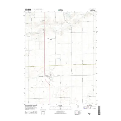
2015 Map of Maroa
USGS Topo · Published 2015About this map
Maroa serves as the primary hub of this central Illinois landscape, situated at the junction where several county roads meet the north-south transit corridor. The map highlights a transition from the structured street grid of the town to the surrounding agricultural plains of De Witt and Macon counties. Notable local landmarks include the Maroa Cem and Rose Cem, which offer significant value for genealogical research in the region.
Find a feature on this map
55 named features on this map. Tap any name to fly to it.
Don’t see what you’re looking for? This feature index may not catch every label — zoom into the map to look around manually.
Map Details
Editions of this 2015 Maroa Map
This is the sole edition of this map. No revisions or reprints were ever made.
Other maps of this area

1929 · Decatur
USGS Topo · 1:62,500

1933 · Decatur
USGS Topo · 1:62,500

1954 · Niantic
USGS Topo · 1:62,500

1957 · Kenney
USGS Topo · 1:62,500

1957 · Maroa
USGS Topo · 1:62,500

1958 · Peoria
USGS Topo · 1:250,000

1958 · Decatur
USGS Topo · 1:250,000

1961 · Peoria
USGS Topo · 1:250,000

1961 · Decatur
USGS Topo · 1:250,000

1963 · Peoria
USGS Topo · 1:250,000