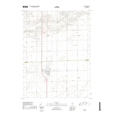
2018 Map of Maroa
USGS Topo · Published 2018About this map
The central Illinois prairie town of Maroa anchors this 2018 survey, showcasing the enduring rectangular grid of its residential streets, including W Jackson St and Lincoln St. The landscape beyond the town limits is dominated by large-scale agricultural plots and a network of section-line roads such as Lake Fork Rd and Janvrin Rd. To the north, the terrain becomes more varied as it approaches Salt Creek and the recreational waters of Weldon Springs Lake. Smaller settlements like Ospur reflect the rural history of the area, while markers like Maroa Cem and Rose Cem provide essential locations for genealogical research. This map captures the intersection of the De Witt and Macon County line, where the flat till plain of central Illinois meets the subtle drainage basins of the N Fork Lake Fork.
Find a feature on this map
50 named features on this map. Tap any name to fly to it.
Don’t see what you’re looking for? This feature index may not catch every label — zoom into the map to look around manually.
Map Details
Editions of this 2018 Maroa Map
This is the sole edition of this map. No revisions or reprints were ever made.
Other maps of this area

1929 · Decatur
USGS Topo · 1:62,500

1933 · Decatur
USGS Topo · 1:62,500

1954 · Niantic
USGS Topo · 1:62,500

1957 · Kenney
USGS Topo · 1:62,500

1957 · Maroa
USGS Topo · 1:62,500

1958 · Peoria
USGS Topo · 1:250,000

1958 · Decatur
USGS Topo · 1:250,000

1961 · Peoria
USGS Topo · 1:250,000

1961 · Decatur
USGS Topo · 1:250,000

1963 · Peoria
USGS Topo · 1:250,000